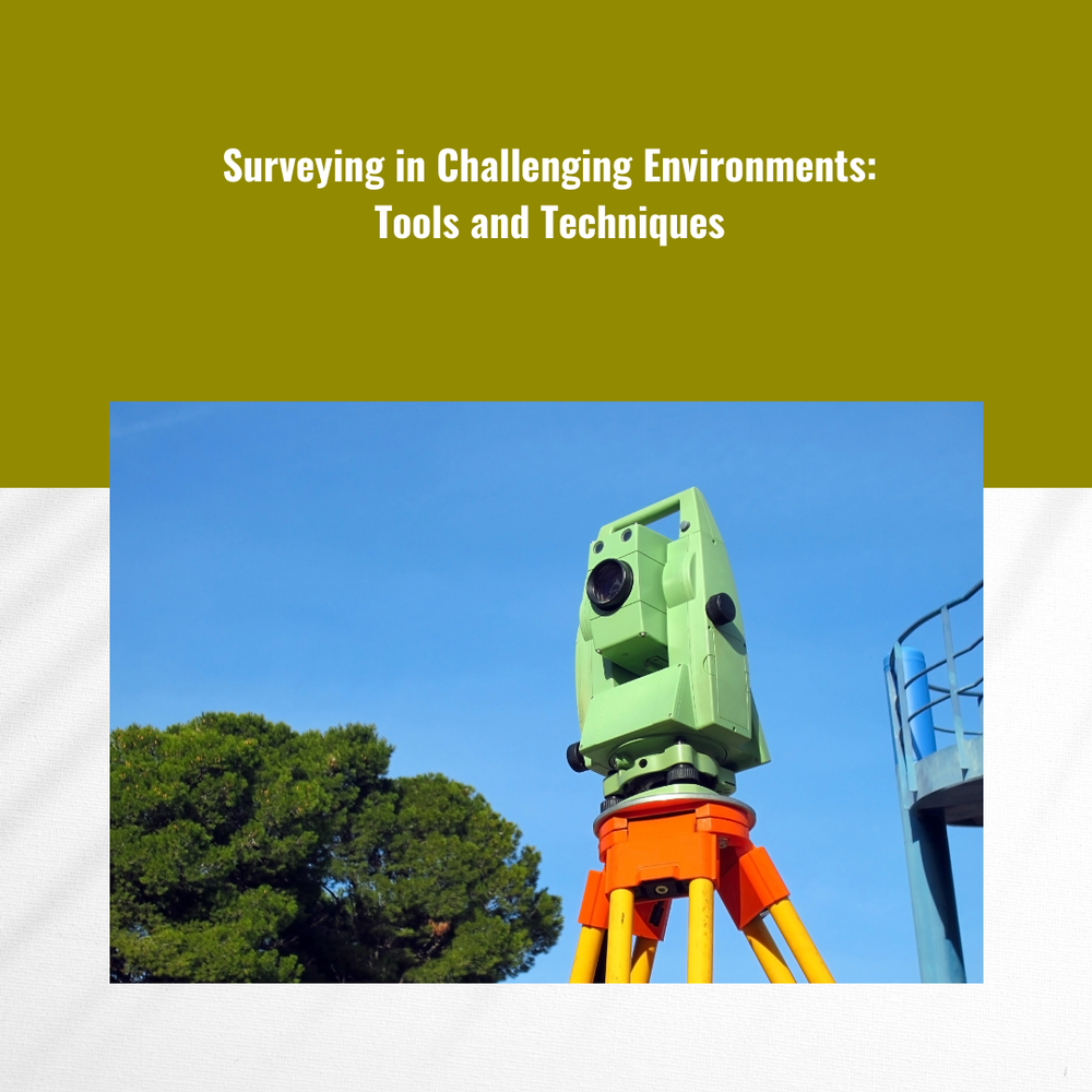
In the world of land surveying, there are challenges aplenty. From rugged terrain to dense vegetation and even adverse weather conditions, surveyors often find themselves facing obstacles that can impede accurate data collection. However, with the right tools and techniques at their disposal, surveying in challenging environments becomes not only possible but also efficient and precise. In this comprehensive guide, we'll explore the essential surveying equipment and strategies that professionals like Labrosse Consulting utilize to conquer even the most formidable surveying tasks.

-
Surveying in Challenging Environments: Tools and Techniques

CLICK HERE TO READ THE FULL ARTICLE »
-
Drone Surveying: A Game-Changer in Land Surveying
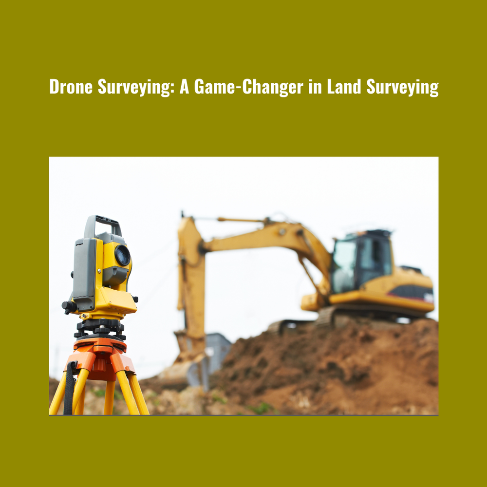
In the realm of land surveying, innovation is the key to staying ahead in a rapidly evolving industry. One of the most significant advancements in recent years has been the integration of drones into surveying practices. With their ability to capture high-resolution imagery from above, drones have revolutionized the way land surveying is conducted, offering unparalleled efficiency, accuracy, and cost-effectiveness. In this comprehensive guide, we delve into the world of drone surveying and explore how it is reshaping the landscape of land surveying as we know it.
CLICK HERE TO READ THE FULL ARTICLE »
-
Getting Started with Data Logger Layout Software: A Step-by-Step Tutorial

In today's digital age, harnessing the power of data is crucial for businesses to make informed decisions and drive growth. Data logger software plays a pivotal role in this process, allowing users to efficiently collect, analyze, and visualize data from various sources. Whether you're a seasoned professional or just dipping your toes into the world of data logging, this comprehensive tutorial will guide you through the essentials of getting started with data logger layout software.
CLICK HERE TO READ THE FULL ARTICLE »
-
Top 5 Must-Have Surveying Tools for Professionals

Surveying, the backbone of modern engineering and construction, demands precision, accuracy, and efficiency. Whether you're mapping out a new development, monitoring land changes, or ensuring the safety of structures, having the right tools at your disposal can make all the difference. As experts in the field of GNSS and UAV PPK, we understand the importance of equipping professionals with the best instruments available. In this comprehensive guide, we unveil the top five must-have surveying tools that every professional should consider adding to their arsenal.
CLICK HERE TO READ THE FULL ARTICLE »
-
Environmental Monitoring and Conservation with GNSS Surveying Tools
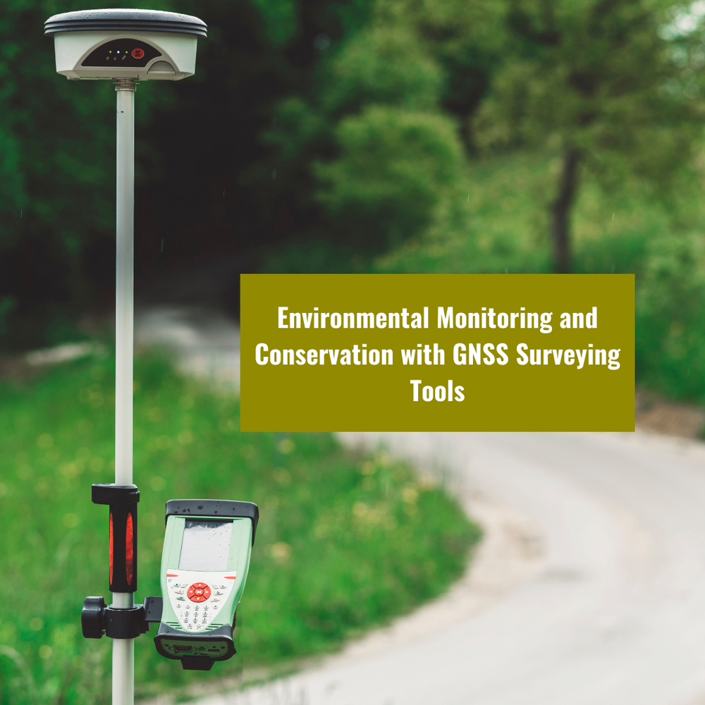
In today's rapidly evolving world, where environmental conservation and sustainable practices are more critical than ever, GNSS surveying tools have emerged as indispensable assets for professionals in various fields. As the environmental landscape changes, the precision and accuracy provided by GNSS (Global Navigation Satellite System) technology are instrumental in monitoring and preserving our planet. In this blog post, we will delve deep into the world of GNSS, GNSS surveying, and GNSS surveying tools, exploring their applications in environmental monitoring and conservation.
CLICK HERE TO READ THE FULL ARTICLE »
-
Benefits of Using Drones for Stockpile Surveys
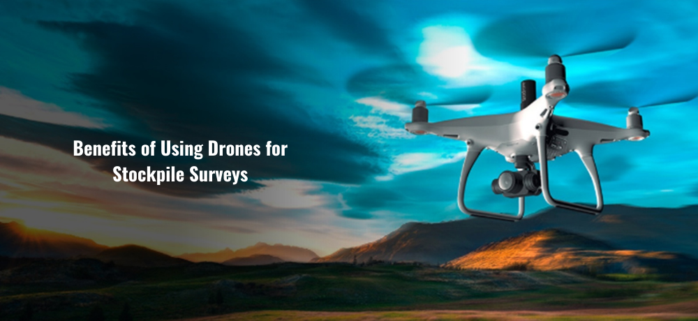
In the world of modern surveying and geospatial technology, the use of drones, particularly in conjunction with Global Navigation Satellite Systems (GNSS) and UAV PPK (Unmanned Aerial Vehicle Post-Processed Kinematic), has emerged as a game-changer. This powerful combination has redefined stockpile surveys, offering precision, efficiency, and cost-effectiveness like never before.
CLICK HERE TO READ THE FULL ARTICLE »
-
Copter Repair vs. Replacement: How to Make the Right Decision
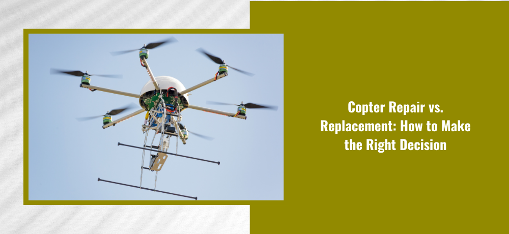
When it comes to the world of GNSS and UAV PPK technologies, Labrosse Consulting stands out as a dynamic company offering a wide array of services. Among these, our expertise in PPK modifications for UAVs is a key component. In this blog, we'll delve into the critical question many in the industry face: Copter Repair vs. Replacement. We'll explore the factors you should consider when making this crucial decision.
CLICK HERE TO READ THE FULL ARTICLE »
-
Exploring the Potential of GNSS in Geological Surveying and Geophysics
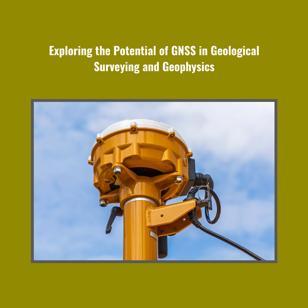
Geological Surveying and geophysics have seen a significant transformation in recent years, thanks to the integration of cutting-edge technologies. Among these, GNSS (Global Navigation Satellite System) has emerged as a game-changer, revolutionizing the way surveys are conducted and data is collected. In this comprehensive blog, we will delve deep into the world of GNSS and its pivotal role in the field of Geological Surveying. Labrosse Consulting, a dynamic company specializing in GNSS and UAV PPK technologies, will take you on an educational journey to explore the potential of GNSS in this domain.
CLICK HERE TO READ THE FULL ARTICLE »
-
Why Online Shopping for Surveying Gear is the Smart Choice

In the ever-evolving field of surveying and geospatial technology, staying ahead of the curve is crucial. When it comes to acquiring survey equipment, GNSS solutions, and survey tools, making the smart choice can significantly impact the success of your projects. In this blog, we will explore the advantages of online shopping for surveying gear, focusing on Labrosse Consulting, a dynamic company that specializes in GNSS and UAV PPK technologies.
CLICK HERE TO READ THE FULL ARTICLE »
-
The Importance of Stockpile Surveying in Mining Operations

In the world of modern mining, the utilization of cutting-edge technology has become paramount for ensuring efficiency, accuracy, and cost-effectiveness. Among the many tools available, GNSS (Global Navigation Satellite System) and Stockpile Surveying play a pivotal role in streamlining mining operations. In this blog, we'll delve into the significance of these technologies and their applications in the mining sector.
CLICK HERE TO READ THE FULL ARTICLE »
-
Use The Ultimate Guide to PPK Drone Surveying
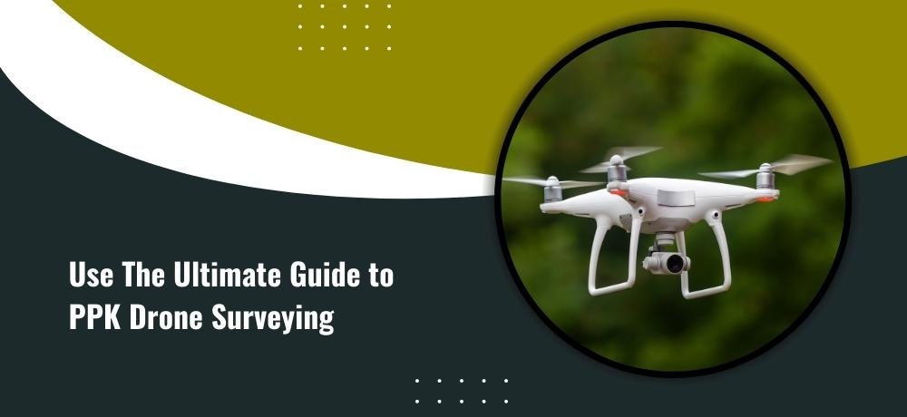
In the dynamic world of modern surveying, where precision and efficiency converge, Post-Processing Kinematics (PPK) drone surveying has emerged as a game-changer. As you embark on your journey to master this transformative technology, consider this comprehensive guide your compass. Packed with insights and expertise, it's your roadmap to unlocking the full potential of PPK drone surveying.
CLICK HERE TO READ THE FULL ARTICLE »
-
What Positioning Technology is Right for Your Project?

In the realm of modern surveying and geospatial applications, choosing the right positioning technology is akin to selecting the perfect tool for a masterpiece. With a multitude of options at your fingertips, making an informed decision is pivotal to the success of your project. Ground Control Points (GCPs), Global Navigation Satellite Systems (GNSS), Post-Processing Kinematics (PPK), and Real-Time Kinematics (RTK) each bring a distinct set of capabilities to the table. In this blog, we unravel the nuances of these technologies to guide you toward the ideal fit for your unique project.
CLICK HERE TO READ THE FULL ARTICLE »
-
What Positioning Technology is Right for Your UAV – GCPs, GPS, GNSS, PPK, or RTK?
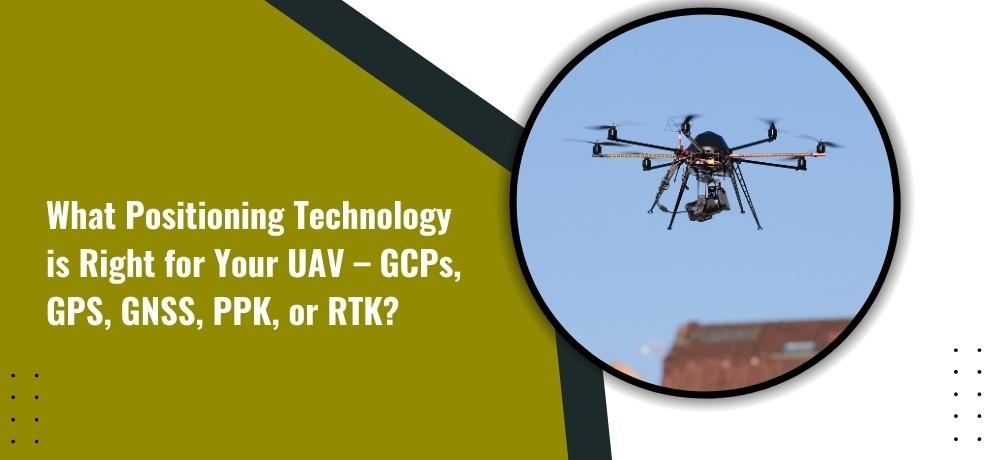
In the fast-paced world of Unmanned Aerial Vehicles (UAVs), choosing the right positioning technology is pivotal. The landscape offers a plethora of options, each with its own benefits and considerations. From Ground Control Points (GCPs) to Global Positioning Systems (GPS), Global Navigation Satellite Systems (GNSS), Post-Processing Kinematics (PPK), and Real-Time Kinematics (RTK), the choices can be overwhelming. In this blog, we unravel the intricacies of each technology to help you make an informed decision.
CLICK HERE TO READ THE FULL ARTICLE »
-
A Test on the Potential of a Low-Cost Unmanned Aerial Vehicle RTK/PPK Solution for Precision Positioning
The pursuit of precision in positioning technology has led to the evolution of solutions that cater to diverse budgets and needs. One such innovation is the Low-Cost Unmanned Aerial Vehicle Real-Time Kinematics/Post-Processing Kinematics (RTK/PPK) solution. This technology has garnered attention for its promise to deliver high-accuracy positioning without breaking the bank. In this blog, we delve into the capabilities and potential of this low-cost solution and its implications for precision positioning.
CLICK HERE TO READ THE FULL ARTICLE »
-
The Power of Precision: GNSS and UAV PPK for Environmental Monitoring and Analysis
In an era of heightened environmental awareness, the ability to monitor and analyze ecosystems with precision has become vital. Enter the realm of Global Navigation Satellite Systems (GNSS) and Unmanned Aerial Vehicle Post-Processing Kinematics (UAV PPK), technologies that have ushered in a new era of accuracy in environmental monitoring and analysis. As we navigate the challenges of safeguarding our planet's health, these tools emerge as invaluable allies.
CLICK HERE TO READ THE FULL ARTICLE »
-
Unlocking the Potential of GNSS and UAV PPK for Engineering and Construction
In the ever-evolving landscape of engineering and construction, precision and efficiency have become paramount. As projects become more complex and timelines tighter, harnessing advanced technologies is no longer an option but a necessity. This brings us to the dynamic realm of Global Navigation Satellite Systems (GNSS) and Unmanned Aerial Vehicle Post-Processing Kinematics (UAV PPK), two game-changing tools that are transforming the way we approach surveying and mapping in the industry.
CLICK HERE TO READ THE FULL ARTICLE »
-
A Beginner’s Guide To PPK Drone Surveying

In today’s rapidly advancing technological landscape, PPK (Post-Processed Kinematic) drone surveying has emerged as a powerful tool for collecting accurate geospatial data. Whether you’re a professional surveyor or a business owner looking to optimize your operations, understanding the fundamentals of PPK drone surveying can significantly benefit your endeavors. In this beginner’s guide, we will delve into the hardware and software requirements for PPK photogrammetry, providing you with the essential knowledge to harness the potential of this cutting-edge surveying technique.
CLICK HERE TO READ THE FULL ARTICLE »
-
The Ultimate Guide to GNSS and UAV PPK Services: Everything You Need to Know
In recent years, GNSS (Global Navigation Satellite System) and UAV (Unmanned Aerial Vehicle) PPK (Post-Processed Kinematic) services have revolutionized various industries, including construction, agriculture, and disaster management. These advanced technologies have transformed the way we collect data, perform inspections, and make decisions. Whether you’re a professional looking to incorporate these technologies into your work or simply curious about their capabilities, this ultimate guide will provide you with everything you need to know about GNSS and UAV PPK services. So Labrosse Consulting has done the research and compiled a comprehensive list of five points that will provide you with a complete understanding of GNSS and UAV PPK services.
CLICK HERE TO READ THE FULL ARTICLE »
-
The Key to Disaster Management: How GNSS and UAV PPK Services Can Help with Emergency Response
In times of disaster, quick and effective emergency response is crucial. When natural disasters strike or accidents occur, emergency response teams need accurate and timely information to make informed decisions and take appropriate action. GNSS and UAV PPK services have emerged as powerful tools for disaster management, providing critical data and insights to first responders and emergency management teams. If you want to know how GNSS and UAV PPK services can help with emergency response, buckle up and get ready for an insightful ride as Labrosse Consulting unveils five points that will enlighten you on the key to disaster management.
CLICK HERE TO READ THE FULL ARTICLE »
-
Elevating Your Project Success with Labrosse Consulting's Exciting New Services
At Labrosse Consulting, we are constantly evolving to meet the dynamic needs of our clients. Our relentless commitment to innovation and excellence has led us to introduce three new services that are sure to revolutionize the way you approach your projects. We are thrilled to announce the addition of Photogrammetry, Construction Layout/Quantity Surveying, and an enhanced Photogrammetry service to our impressive suite of offerings. Read on to discover how these cutting-edge services can elevate your project success to new heights.
CLICK HERE TO READ THE FULL ARTICLE »


