Surveying in Challenging Environments: Tools and Techniques
In the world of land surveying, there are challenges aplenty. From rugged terrain to dense vegetation and even adverse weather conditions, surveyors often find themselves facing obstacles that can impede accurate data collection. However, with the right tools and techniques at their disposal, surveying in challenging environments becomes not only possible but also efficient and precise. In this comprehensive guide, we'll explore the essential surveying equipment and strategies that professionals like Labrosse Consulting utilize to conquer even the most formidable surveying tasks.
Understanding the Terrain: The First Step
Before embarking on any surveying mission, it's crucial to thoroughly understand the terrain you'll be working in. Whether it's a remote wilderness or an urban jungle, each environment presents its own set of challenges. Surveyors must assess factors such as elevation changes, vegetation density, and accessibility to determine the best approach. Advanced mapping technologies like GNSS (Global Navigation Satellite Systems) and UAV PPK (Unmanned Aerial Vehicle Post-Processed Kinematics) play a vital role in this initial reconnaissance phase, providing detailed aerial imagery and topographic data that enable precise planning.
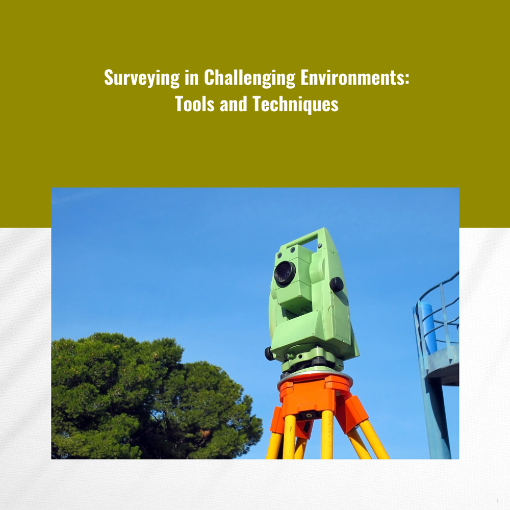
Essential Surveying Equipment for Challenging Environments
- High-precision GNSS Receivers:
In challenging environments where traditional surveying methods may be impractical or insufficient, high-precision GNSS receivers are indispensable. These devices utilize signals from satellite constellations such as GPS, GLONASS, and Galileo to determine precise positioning with centimeter-level accuracy, even in areas with limited satellite visibility or signal interference. Equipped with advanced signal processing algorithms and ruggedized enclosures, modern GNSS receivers excel in environments where conventional surveying equipment may struggle.
- Robust UAVs (Unmanned Aerial Vehicles):
When terrain is inaccessible or hazardous, deploying UAVs equipped with PPK technology offers a safe and efficient alternative for collecting aerial survey data. These remotely piloted aircraft can navigate rugged landscapes with ease, capturing high-resolution imagery and LiDAR (Light Detection and Ranging) data from vantage points that would be impractical or impossible to reach on foot. By integrating precise positioning data from onboard GNSS receivers with post-processed imagery, UAV PPK systems enable accurate 3D mapping and terrain modeling in even the most challenging environments.
- LiDAR Scanners:
In densely vegetated or cluttered environments where traditional surveying methods may struggle to penetrate, LiDAR (Light Detection and Ranging) scanners offer a solution. These remote sensing devices emit laser pulses and measure the time it takes for the light to reflect off surfaces, generating highly detailed 3D point clouds of the terrain below. By penetrating vegetation and capturing ground-level data with unparalleled accuracy, LiDAR scanners provide surveyors with invaluable insights into the landscape, enabling precise mapping and analysis of challenging environments.
- Ruggedized Field Equipment:
Surviving in challenging environments requires more than just high-tech gadgets; it also demands durable and reliable field equipment. From ruggedized tablets and smartphones to waterproof surveying instruments, surveyors must rely on tools that can withstand the rigors of the outdoors. Additionally, specialized equipment such as ground-penetrating radar and sonar systems may be employed to overcome specific challenges, such as mapping subsurface features or navigating underwater environments.
Strategies for Success: Overcoming Challenges
While advanced surveying equipment is essential for conquering challenging environments, success ultimately depends on the expertise and experience of the surveying team. Here are some strategies employed by Labrosse Consulting and other industry leaders to ensure successful outcomes:
- Thorough Planning and Risk Assessment: Before venturing into challenging terrain, surveyors must conduct comprehensive risk assessments and develop detailed surveying plans. Identifying potential hazards and implementing safety protocols are essential for minimizing risks and ensuring the safety of personnel and equipment.
- Adaptive Surveying Techniques: Flexibility is key when surveying in dynamic environments. Surveyors must be prepared to adapt their techniques and equipment to suit changing conditions, whether it's adjusting flight paths for UAVs or employing alternative data collection methods in response to unforeseen obstacles.
- Collaborative Approach: Collaboration between surveying teams, GIS (Geographic Information Systems) specialists, and other stakeholders is essential for tackling complex surveying projects. By pooling resources and expertise, interdisciplinary teams can overcome challenges more effectively and achieve superior results.
- Continuous Innovation: The field of surveying is constantly evolving, with new technologies and techniques emerging to address the challenges of tomorrow. Surveyors must embrace innovation and stay abreast of the latest developments to remain competitive and deliver value to their clients.
In conclusion, surveying in challenging environments requires a combination of advanced equipment, strategic planning, and technical expertise. At Labrosse Consulting, we specialize in providing innovative surveying solutions for even the most demanding projects. As licensed Advanced UAV Pilots with extensive experience in GPS surveying, drone mapping, and consulting, we are proud to serve clients across Canada, the United States, and beyond. Whether you're navigating rugged terrain or charting uncharted waters, we have the tools and expertise to help you succeed.
To learn more about our services and how we can assist with your next surveying project, please click here. If you have any questions or inquiries, don't hesitate to contact us at (705) 618-6225 or email us at jason@labrosseconsulting.ca. Partner with Labrosse Consulting for your surveying needs and experience the difference expertise makes.