Taking Your Business to New Heights: How GNSS and UAV PPK Services Can Improve Your Operations
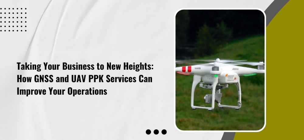
If you’re looking to take your business to new heights, you might be surprised to learn that the answer lies not in traditional methods, but in cutting-edge technology. Global Navigation Satellite System (GNSS) and Unmanned Aerial Vehicle (UAV) Post-Processing Kinematic (PPK) services have revolutionized the way businesses operate in a range of industries. With their precise and efficient data collection capabilities, GNSS and UAV PPK services have the potential to take your business to the next level.
So get ready to learn the nitty-gritty details as Labrosse Consulting reveals five points that will blow your mind and completely transform your operations.
1. Accurate data collection
GNSS and UAV PPK services can provide highly accurate geospatial data, which can be used to create detailed maps and models of job sites, infrastructure, and more. This data can help businesses make more informed decisions about resource allocation, project planning, and operational efficiency. By reducing errors and increasing accuracy, GNSS and UAV PPK services can also help businesses avoid costly mistakes and rework. By using GNSS and UAV PPK services to monitor and analyze data, businesses can also gain valuable insights into customer behavior, market trends, and operational performance.
2. Faster and safer inspections
Using UAVs equipped with GNSS and PPK technology, businesses can conduct inspections more quickly and efficiently than with traditional methods. UAVs can access hard-to-reach areas and provide high-resolution imagery and video, which can aid in identifying potential issues or defects. By reducing the need for human inspections, businesses can also minimize safety risks and save time and resources. The use of GNSS and UAV PPK services can also help businesses reduce costs associated with inspections, such as the need for scaffolding or other access equipment. This can lead to significant savings over time.
3. Improved crop management
By using GNSS and UAV PPK services, businesses in the agriculture industry can collect high-resolution imagery and other data that can be used to identify areas of crop stress, nutrient deficiencies, and other potential issues. This information can be used to optimize the use of fertilizer, pesticides, and other resources, which can reduce waste and improve crop health. With the ability to collect data on crop health and yield predictions, businesses can also make more informed decisions about when to harvest crops, which can lead to higher yields and better profitability.
4. Streamlined surveying
The use of GNSS and UAV PPK technology can improve the accuracy and efficiency of surveying, allowing businesses to complete projects faster and with greater precision. By using UAVs equipped with GNSS and PPK technology, businesses can access hard-to-reach areas and collect data on topography, vegetation, and other features that may be difficult to capture with traditional surveying methods. This data can be used to create detailed maps and models of job sites, infrastructure, and other assets, which can aid in planning and decision-making.
5. Enhanced safety and security
By using GNSS and UAV PPK services to monitor job sites and track equipment, businesses can improve the safety and security of their workers and assets. This can include monitoring for potential hazards, such as unstable ground or other risks, and taking action to mitigate those risks. With the ability to monitor job sites remotely, businesses can also reduce the need for workers to be physically present in hazardous or remote locations, reducing the risk of accidents or injuries. By using UAVs equipped with GNSS and PPK technology, businesses can also conduct security patrols and surveillance, which can deter theft and vandalism. This can improve the security of valuable assets and equipment, reducing the risk of financial loss.
If you’re looking for a geomatics specialist in Ontario, consider reaching out to Labrosse Consulting. Labrosse Consulting was founded in 2014 by me, Jason Labrosse. With over 22 years of experience in construction and civil engineering technology, I combined my passion for electronics and GIS to create this company. I offer professional services and advice to my clients promptly without sacrificing quality. Labrosse Consulting provides surveying equipment, PPK UAV modifications, and UAV training services tailored to each individual or company. Thank you to my customers and mentors for helping me grow this dream into a successful business.
My services are extended to clients across 10 Provinces and 3 Territories of Canada, and all 50 States in the USA as well as DC and Puerto Rico.
Get in touch with me today!
To learn more about my services, please click here. To get in touch with me, please click here or call me at (705) 618-6225 or email me at jason@labrosseconsulting.ca.