
Mobility is key in the dynamic world of land surveying and geospatial mapping. Whether you're navigating rugged terrain, exploring urban landscapes, or conducting inspections in hard-to-reach areas, having the right tools at your fingertips can make all the difference. Enter handheld surveying devices, a revolutionary approach to data collection that puts precision and portability in the palm of your hand. At Labrosse Consulting, we're committed to empowering our clients with the latest advancements in surveying technology. Join us as we explore the ins and outs of handheld surveying devices and methods and discover how they can enhance your surveying endeavors.

-
Mastering Mobility: Demystifying Handheld Surveying Devices and Methods

CLICK HERE TO READ THE FULL ARTICLE »
-
Navigating Success: The Benefits of High Accuracy GNSS Equipment

Precision is paramount in the intricate world of land surveying and geospatial mapping. Every inch, every contour, and every elevation holds significance, shaping the landscape of our built environment. At Labrosse Consulting, we understand the pivotal role that high-accuracy GNSS (Global Navigation Satellite System) equipment plays in unlocking the full potential of your projects. Join us as we delve into the benefits of incorporating this cutting-edge technology into your toolkit.
CLICK HERE TO READ THE FULL ARTICLE »
-
Environmental Monitoring and Conservation with GNSS Surveying Tools
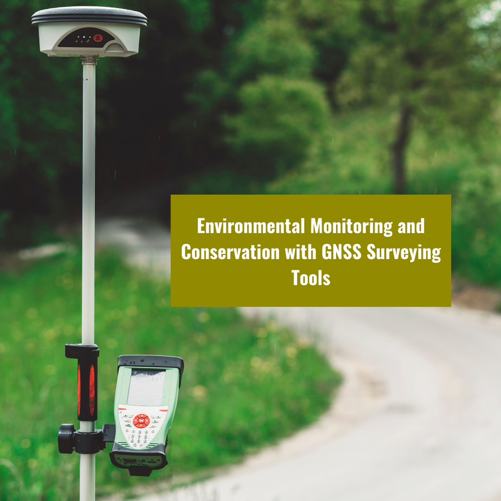
In today's rapidly evolving world, where environmental conservation and sustainable practices are more critical than ever, GNSS surveying tools have emerged as indispensable assets for professionals in various fields. As the environmental landscape changes, the precision and accuracy provided by GNSS (Global Navigation Satellite System) technology are instrumental in monitoring and preserving our planet. In this blog post, we will delve deep into the world of GNSS, GNSS surveying, and GNSS surveying tools, exploring their applications in environmental monitoring and conservation.
CLICK HERE TO READ THE FULL ARTICLE »
-
Exploring the Potential of GNSS in Geological Surveying and Geophysics
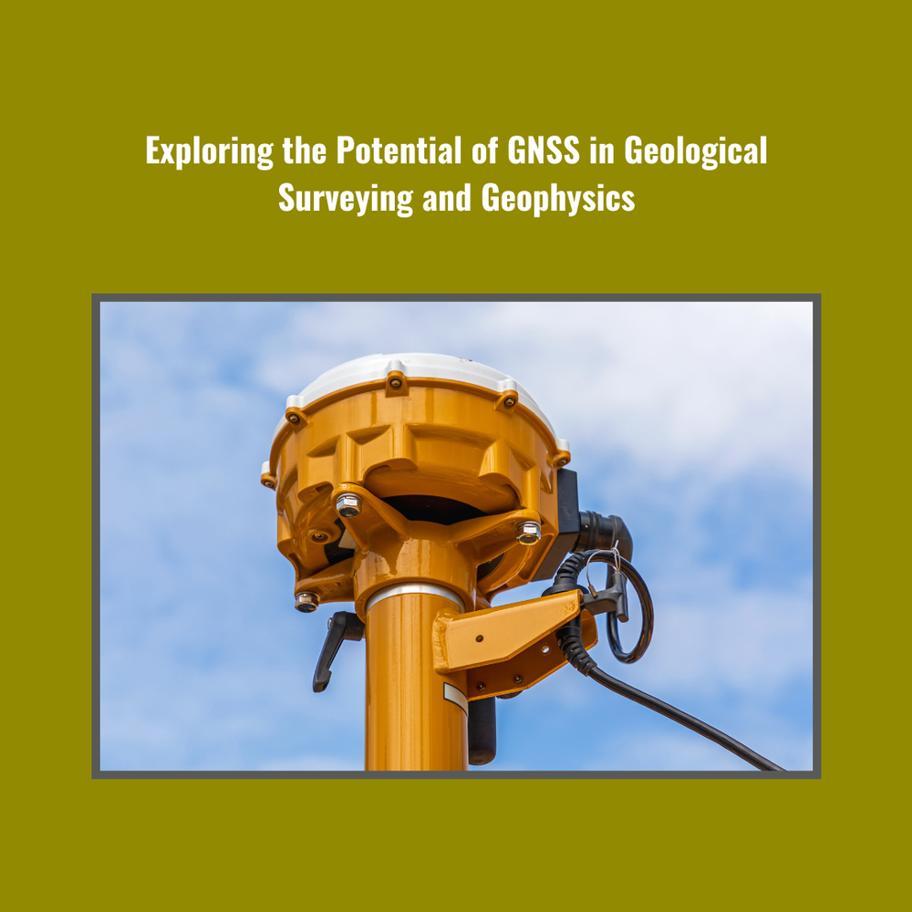
Geological Surveying and geophysics have seen a significant transformation in recent years, thanks to the integration of cutting-edge technologies. Among these, GNSS (Global Navigation Satellite System) has emerged as a game-changer, revolutionizing the way surveys are conducted and data is collected. In this comprehensive blog, we will delve deep into the world of GNSS and its pivotal role in the field of Geological Surveying. Labrosse Consulting, a dynamic company specializing in GNSS and UAV PPK technologies, will take you on an educational journey to explore the potential of GNSS in this domain.
CLICK HERE TO READ THE FULL ARTICLE »
-
The Importance of Stockpile Surveying in Mining Operations
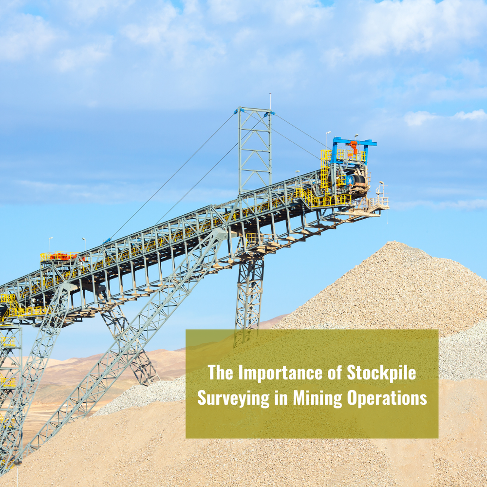
In the world of modern mining, the utilization of cutting-edge technology has become paramount for ensuring efficiency, accuracy, and cost-effectiveness. Among the many tools available, GNSS (Global Navigation Satellite System) and Stockpile Surveying play a pivotal role in streamlining mining operations. In this blog, we'll delve into the significance of these technologies and their applications in the mining sector.
CLICK HERE TO READ THE FULL ARTICLE »


