
In the realm of land surveying and geospatial mapping, precision is paramount. Every contour, every boundary, and every elevation holds significance, shaping the landscape of our built environment. At Labrosse Consulting, we understand the pivotal role that Post-Processed Kinematic (PPK) technology plays in unlocking the full potential of your projects. Join us as we explore why saving with PPK is a worthwhile investment for your surveying endeavors.

-
Unlocking Precision: Why Saving with PPK is Worthwhile

CLICK HERE TO READ THE FULL ARTICLE »
-
Surveying in Challenging Environments: Tools and Techniques
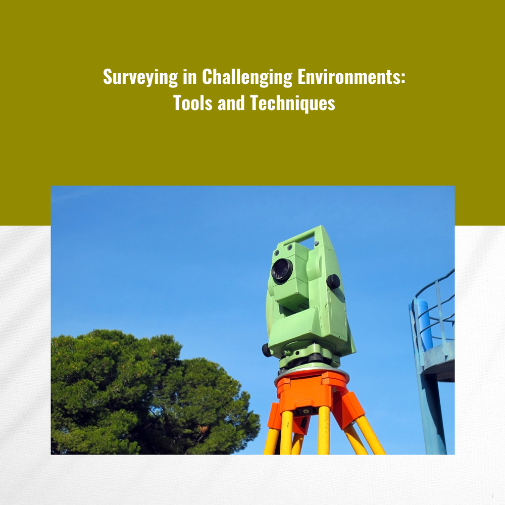
In the world of land surveying, there are challenges aplenty. From rugged terrain to dense vegetation and even adverse weather conditions, surveyors often find themselves facing obstacles that can impede accurate data collection. However, with the right tools and techniques at their disposal, surveying in challenging environments becomes not only possible but also efficient and precise. In this comprehensive guide, we'll explore the essential surveying equipment and strategies that professionals like Labrosse Consulting utilize to conquer even the most formidable surveying tasks.
CLICK HERE TO READ THE FULL ARTICLE »
-
Use The Ultimate Guide to PPK Drone Surveying
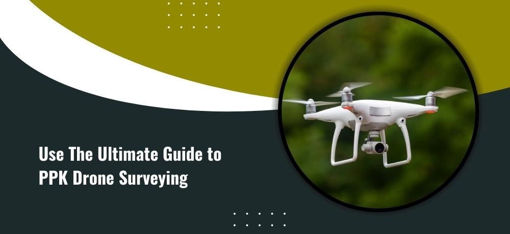
In the dynamic world of modern surveying, where precision and efficiency converge, Post-Processing Kinematics (PPK) drone surveying has emerged as a game-changer. As you embark on your journey to master this transformative technology, consider this comprehensive guide your compass. Packed with insights and expertise, it's your roadmap to unlocking the full potential of PPK drone surveying.
CLICK HERE TO READ THE FULL ARTICLE »
-
What Positioning Technology is Right for Your Project?

In the realm of modern surveying and geospatial applications, choosing the right positioning technology is akin to selecting the perfect tool for a masterpiece. With a multitude of options at your fingertips, making an informed decision is pivotal to the success of your project. Ground Control Points (GCPs), Global Navigation Satellite Systems (GNSS), Post-Processing Kinematics (PPK), and Real-Time Kinematics (RTK) each bring a distinct set of capabilities to the table. In this blog, we unravel the nuances of these technologies to guide you toward the ideal fit for your unique project.
CLICK HERE TO READ THE FULL ARTICLE »
-
What Positioning Technology is Right for Your UAV – GCPs, GPS, GNSS, PPK, or RTK?
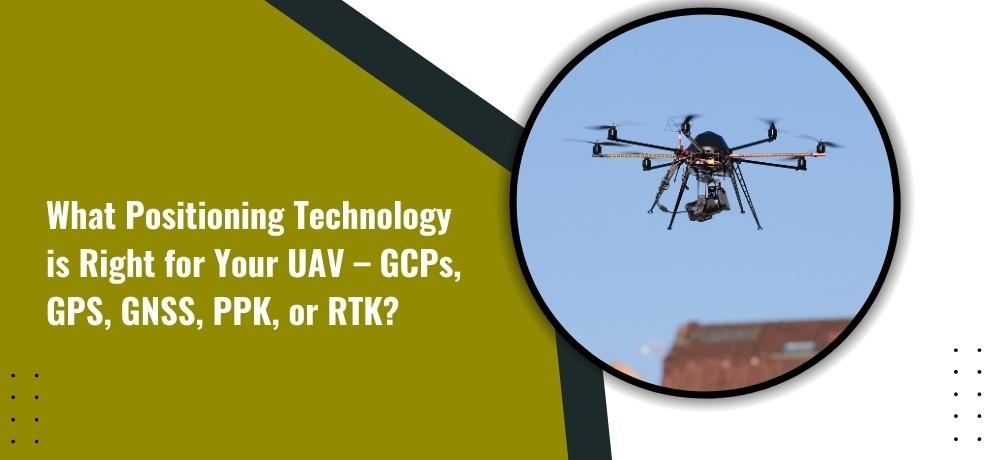
In the fast-paced world of Unmanned Aerial Vehicles (UAVs), choosing the right positioning technology is pivotal. The landscape offers a plethora of options, each with its own benefits and considerations. From Ground Control Points (GCPs) to Global Positioning Systems (GPS), Global Navigation Satellite Systems (GNSS), Post-Processing Kinematics (PPK), and Real-Time Kinematics (RTK), the choices can be overwhelming. In this blog, we unravel the intricacies of each technology to help you make an informed decision.
CLICK HERE TO READ THE FULL ARTICLE »
-
A Test on the Potential of a Low-Cost Unmanned Aerial Vehicle RTK/PPK Solution for Precision Positioning
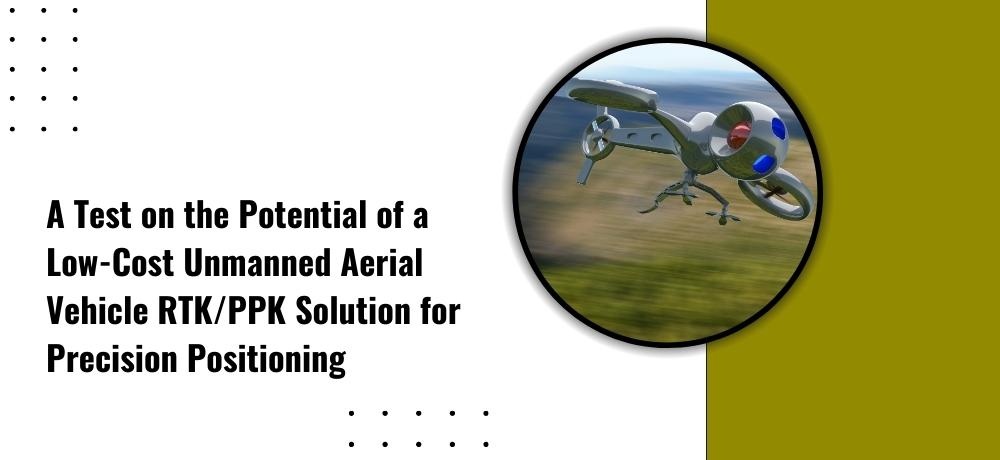
The pursuit of precision in positioning technology has led to the evolution of solutions that cater to diverse budgets and needs. One such innovation is the Low-Cost Unmanned Aerial Vehicle Real-Time Kinematics/Post-Processing Kinematics (RTK/PPK) solution. This technology has garnered attention for its promise to deliver high-accuracy positioning without breaking the bank. In this blog, we delve into the capabilities and potential of this low-cost solution and its implications for precision positioning.
CLICK HERE TO READ THE FULL ARTICLE »
-
The Power of Precision: GNSS and UAV PPK for Environmental Monitoring and Analysis
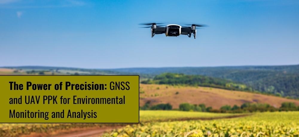
In an era of heightened environmental awareness, the ability to monitor and analyze ecosystems with precision has become vital. Enter the realm of Global Navigation Satellite Systems (GNSS) and Unmanned Aerial Vehicle Post-Processing Kinematics (UAV PPK), technologies that have ushered in a new era of accuracy in environmental monitoring and analysis. As we navigate the challenges of safeguarding our planet's health, these tools emerge as invaluable allies.
CLICK HERE TO READ THE FULL ARTICLE »
-
Unlocking the Potential of GNSS and UAV PPK for Engineering and Construction
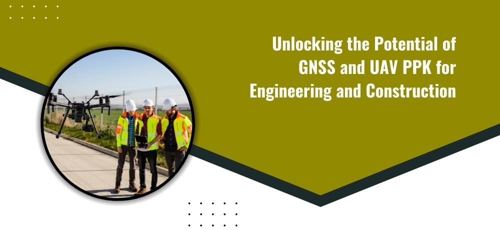
In the ever-evolving landscape of engineering and construction, precision and efficiency have become paramount. As projects become more complex and timelines tighter, harnessing advanced technologies is no longer an option but a necessity. This brings us to the dynamic realm of Global Navigation Satellite Systems (GNSS) and Unmanned Aerial Vehicle Post-Processing Kinematics (UAV PPK), two game-changing tools that are transforming the way we approach surveying and mapping in the industry.
CLICK HERE TO READ THE FULL ARTICLE »
-
A Beginner’s Guide To PPK Drone Surveying
In today’s rapidly advancing technological landscape, PPK (Post-Processed Kinematic) drone surveying has emerged as a powerful tool for collecting accurate geospatial data. Whether you’re a professional surveyor or a business owner looking to optimize your operations, understanding the fundamentals of PPK drone surveying can significantly benefit your endeavors. In this beginner’s guide, we will delve into the hardware and software requirements for PPK photogrammetry, providing you with the essential knowledge to harness the potential of this cutting-edge surveying technique.
CLICK HERE TO READ THE FULL ARTICLE »
-
The Ultimate Guide to GNSS and UAV PPK Services: Everything You Need to Know
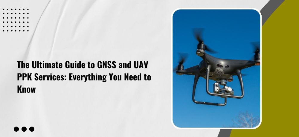
In recent years, GNSS (Global Navigation Satellite System) and UAV (Unmanned Aerial Vehicle) PPK (Post-Processed Kinematic) services have revolutionized various industries, including construction, agriculture, and disaster management. These advanced technologies have transformed the way we collect data, perform inspections, and make decisions. Whether you’re a professional looking to incorporate these technologies into your work or simply curious about their capabilities, this ultimate guide will provide you with everything you need to know about GNSS and UAV PPK services. So Labrosse Consulting has done the research and compiled a comprehensive list of five points that will provide you with a complete understanding of GNSS and UAV PPK services.
CLICK HERE TO READ THE FULL ARTICLE »
-
The Key to Disaster Management: How GNSS and UAV PPK Services Can Help with Emergency Response
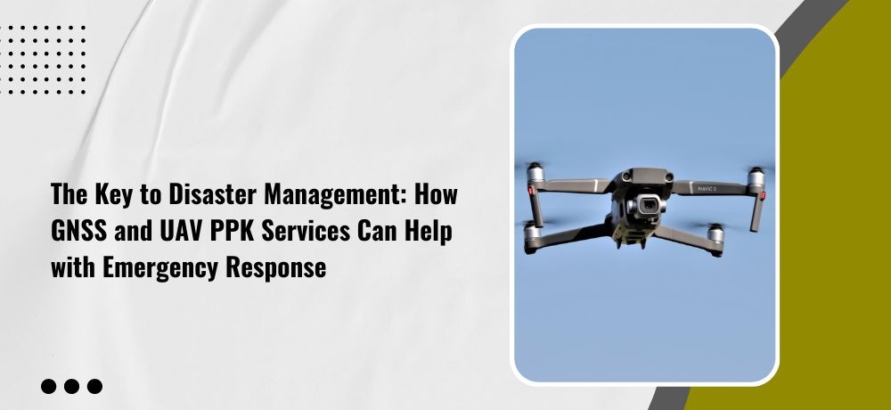
In times of disaster, quick and effective emergency response is crucial. When natural disasters strike or accidents occur, emergency response teams need accurate and timely information to make informed decisions and take appropriate action. GNSS and UAV PPK services have emerged as powerful tools for disaster management, providing critical data and insights to first responders and emergency management teams. If you want to know how GNSS and UAV PPK services can help with emergency response, buckle up and get ready for an insightful ride as Labrosse Consulting unveils five points that will enlighten you on the key to disaster management.
CLICK HERE TO READ THE FULL ARTICLE »
-
Elevating Your Project Success with Labrosse Consulting's Exciting New Services
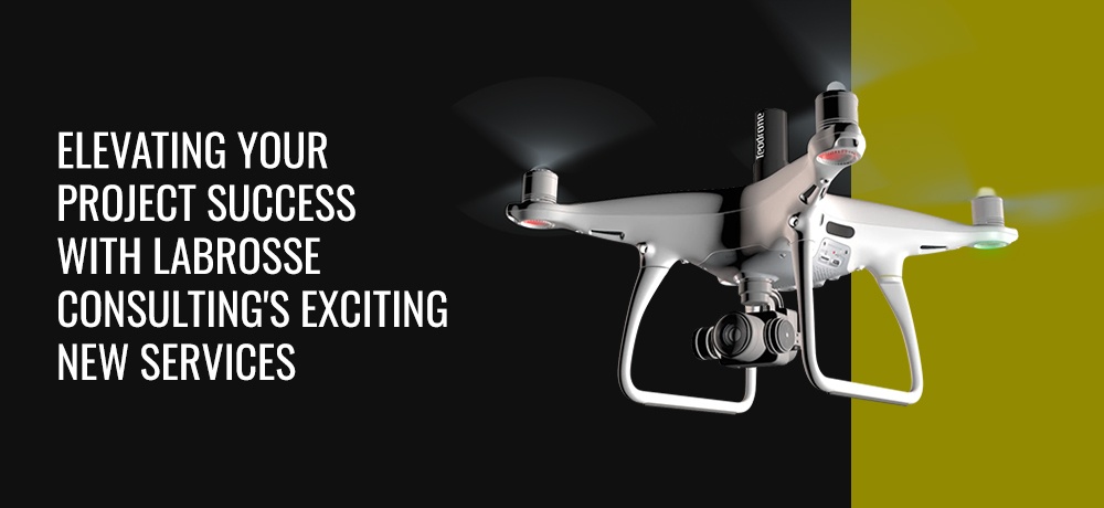
At Labrosse Consulting, we are constantly evolving to meet the dynamic needs of our clients. Our relentless commitment to innovation and excellence has led us to introduce three new services that are sure to revolutionize the way you approach your projects. We are thrilled to announce the addition of Photogrammetry, Construction Layout/Quantity Surveying, and an enhanced Photogrammetry service to our impressive suite of offerings. Read on to discover how these cutting-edge services can elevate your project success to new heights.
CLICK HERE TO READ THE FULL ARTICLE »
-
The Power of Precision: GNSS and UAV PPK for Environmental Monitoring and Analysis
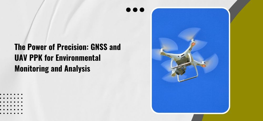
Environmental monitoring and analysis are critical aspects of ensuring the health and safety of our planet. With the constant need for accurate and detailed data, the traditional methods of collecting information can be time-consuming and labor-intensive. However, with the power of Global Navigation Satellite Systems (GNSS) and Unmanned Aerial Vehicle (UAV) Post-Processed Kinematics (PPK) technology, environmental professionals can now access unprecedented levels of precision and accuracy. To help you dive deep into the topic, Labrosse Consulting has carefully crafted a comprehensive guide that covers five crucial ways in which GNSS and UAV PPK technology can revolutionize environmental monitoring and analysis.
CLICK HERE TO READ THE FULL ARTICLE »
-
Unlocking the Potential of GNSS and UAV PPK for Engineering and Construction
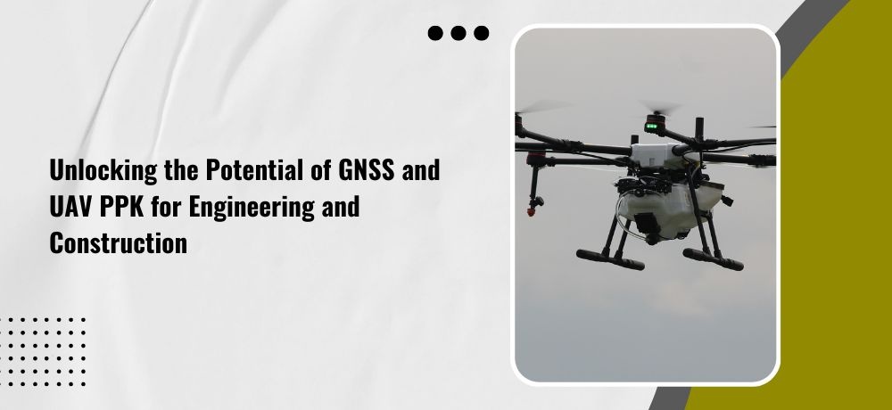
Engineering and construction are complex and challenging industries that demand precise and efficient data collection. With the advancements in technology, GNSS (Global Navigation Satellite System) and UAV PPK (Unmanned Aerial Vehicle Post-Processing Kinematics) have revolutionized the way professionals in these fields approach their work. These cutting-edge technologies offer unparalleled accuracy and efficiency in surveying and mapping, allowing engineers and construction teams to unlock new levels of productivity and innovation.
Whether you’re a seasoned engineer or construction worker, or just someone interested in the latest technological advancements, Labrosse Consulting’s list of five points is sure to provide an engaging and insightful perspective on this topic.
CLICK HERE TO READ THE FULL ARTICLE »
-
The Benefits of Using GNSS and UAV PPK for Surveying and Mapping
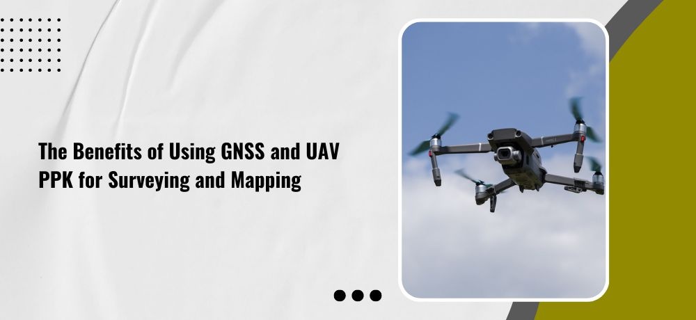
From towering skyscrapers to sprawling highways, the modern world is a testament to the power of accurate surveying and mapping. But traditional methods of surveying, such as manual measurements and aerial photography, can be time-consuming, costly, and limited in their precision. That’s where GNSS and UAV PPK come in. These cutting-edge technologies have revolutionized surveying and mapping by providing accurate, real-time data from above. Whether you’re a civil engineer, urban planner, or environmental scientist, using GNSS and UAV PPK technology can enhance your work and help you achieve your goals faster and more efficiently than ever before.
To delve deeper into this exciting topic, Labrosse Consulting has crafted a list of five crucial points that will enlighten and amaze you.
CLICK HERE TO READ THE FULL ARTICLE »
-
Taking Your Business to New Heights: How GNSS and UAV PPK Services Can Improve Your Operations
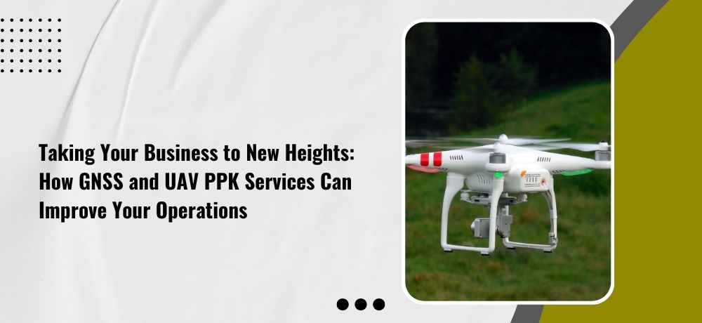
If you’re looking to take your business to new heights, you might be surprised to learn that the answer lies not in traditional methods, but in cutting-edge technology. Global Navigation Satellite System (GNSS) and Unmanned Aerial Vehicle (UAV) Post-Processing Kinematic (PPK) services have revolutionized the way businesses operate in a range of industries. With their precise and efficient data collection capabilities, GNSS and UAV PPK services have the potential to take your business to the next level.
So get ready to learn the nitty-gritty details as Labrosse Consulting reveals five points that will blow your mind and completely transform your operations.
CLICK HERE TO READ THE FULL ARTICLE »
-
Announcing The New Website

We are delighted to announce the launch of our new website!
CLICK HERE TO READ THE FULL ARTICLE »


