Unlock the potential of your construction projects with our comprehensive guide on GNSS Survey Equipment. This essential read delves into the intricacies of GNSS technology, unraveling its transformative impact on surveying tasks. Whether you're a project manager or a surveyor, discover how this cutting-edge equipment can elevate precision and efficiency, keeping you at the forefront of your field. Stay informed and gain the competitive edge you need to excel in the ever-evolving landscape of construction.

-
Understanding GNSS Survey Equipment: A Comprehensive Guide for Construction Professionals
CLICK HERE TO READ THE FULL ARTICLE »
-
How to Stay Ahead with Cutting-Edge Surveying Tools

In the rapidly evolving fields of construction and engineering, staying competitive requires the integration of cutting-edge surveying tools. Labrosse Consulting Inc. offers advanced GNSS GPS equipment and UAV PPK technology, ensuring precise data collection and efficient project execution. By leveraging these innovative solutions, construction companies and surveyors can significantly reduce field time, enhance accuracy, and streamline workflows. Discover how embracing these advancements not only meets stringent industry standards but also supports sustainable practices and regulatory compliance.
CLICK HERE TO READ THE FULL ARTICLE »
-
Why Precision Matters in Construction Surveying

In the fast-paced world of construction, precision in surveying is not just a necessity but a cornerstone of successful project management. With the integration of advanced GNSS GPS equipment and drone technology, construction companies can achieve unparalleled accuracy in data collection, significantly reducing errors and ensuring projects stay on track. Labrosse Consulting Inc. stands at the forefront of this technological revolution, offering tailored solutions that streamline surveying processes and enhance operational efficiency. Discover how embracing these cutting-edge tools can transform your construction projects, ensuring they meet stringent standards while staying within budget and on schedule.
CLICK HERE TO READ THE FULL ARTICLE »
-
Cost-Effective Surveying: Optimizing Budgets with High-Tech GNSS and UAV Equipment

Discover the financial and operational advantages of integrating state-of-the-art GNSS and UAV technology from Labrosse Consulting into your surveying workflow. This blog post explores how modern surveying equipment not only enhances precision but also drives down costs associated with traditional survey methods. Learn about the tangible benefits that GNSS equipment and UAV technology bring to your projects, ensuring both cost-efficiency and high-quality results. Join us as we delve into the world of cost-effective surveying, where innovation meets practicality.
CLICK HERE TO READ THE FULL ARTICLE »
-
Adapting to Environmental Challenges in Surveying with Robust GNSS Tools

Explore how Labrosse Consulting empowers surveyors with state-of-the-art GNSS tools designed to perform under any environmental condition. This blog post delves into the advantages of utilizing versatile and durable surveying equipment that guarantees accuracy and dependability, irrespective of challenging terrains or adverse weather scenarios. Learn about the technological innovations that enable these tools to adapt seamlessly to varied environments, enhancing the efficiency and precision of surveying projects. Discover the pivotal role of robust GNSS tools in overcoming environmental challenges in the surveying industry.
CLICK HERE TO READ THE FULL ARTICLE »
-
"Sky-High Holidays: How Advanced GNSS GPS and Drone Technologies Transform Seasonal Surveying and Construction Projects"
Introduction The landscape of construction and surveying is evolving rapidly with the advent of advanced GNSS GPS and drone technologies. These tools are not just enhancing the precision and efficiency of surveying tasks but are also reshaping how projects are managed during the high-stakes holiday seasons. In busy urban centers like Toronto, Vancouver, New York City, Los Angeles, and Chicago, where construction and development are incessant, the integration of these technologies has become indispensable. The Challenge of Seasonal Surveying During seasonal peaks, construction companies and surveyors face unique challenges. The pressure to accelerate project timelines while maintaining accuracy and reducing costs is immense.…
CLICK HERE TO READ THE FULL ARTICLE »
-
Reducing Surveying Errors: How Advanced GNSS Tools Streamline Data Accuracy

Discover the transformative impact of Labrosse Consulting's GNSS GPS equipment in the construction and engineering sectors. Our latest technology significantly reduces common surveying errors, ensuring unmatched precision and reliability in your projects. Learn how our advanced tools can streamline your data collection processes, saving time and reducing costs. This article delves into the benefits of embracing high-tech surveying solutions for enhanced project outcomes.
CLICK HERE TO READ THE FULL ARTICLE »
-
"November's Navigational Necessities: Enhancing Construction Efficiency with Advanced GNSS and Drone Technologies"
Introduction: Revolutionizing Construction with GNSS and Drone Technology In the dynamic world of construction, efficiency and accuracy are paramount. With projects becoming increasingly complex and timelines tighter, the demand for innovative solutions is more pressing than ever. Advanced GNSS (Global Navigation Satellite System) and drone technologies are at the forefront of transforming the construction landscape, offering unprecedented precision and speed in surveying and mapping tasks. This article delves into how these technologies are revolutionizing the industry, addressing major pain points, and setting new standards in construction efficiency. The Pain Point: Navigating the Challenges of Traditional Surveying For decades, traditional surveying methods have been…
CLICK HERE TO READ THE FULL ARTICLE »
-
Optimizing Construction Workflows with Advanced GNSS Systems

Discover the transformative power of advanced GNSS systems with Labrosse Consulting Inc., as we delve into optimizing construction workflows in urban settings. Learn how our cutting-edge GNSS GPS equipment and drones streamline project timelines, enhance accuracy, and tackle the unique challenges faced by construction professionals in major cities. This blog post will guide you through the benefits of integrating high-precision surveying solutions that not only save time but also reduce costly errors. Stay ahead in the competitive construction industry by embracing technology that drives efficiency and precision.
CLICK HERE TO READ THE FULL ARTICLE »
-
Exploring Different Types of Drone Navigation Systems

Welcome to the fascinating world of advanced drone technology! At Labrosse Consulting, we specialize in providing cutting-edge GNSS GPS equipment and drones that revolutionize surveying processes for construction companies and surveyors across North America. In this comprehensive exploration, we will delve into the various types of drone navigation systems, helping you understand how these technologies can enhance your surveying and construction projects. By understanding these systems, you can choose the best options for your needs, ensuring accuracy, efficiency, and safety in all your projects.
CLICK HERE TO READ THE FULL ARTICLE »
-
The Advantages of PPK Training for Precise Mapping and Surveying

The necessity for precision in geospatial surveying has never been more paramount. Post-Processed Kinematic (PPK) training has become a crucial technology for today's surveyors and construction companies. Labrosse Consulting is leading this revolution, by offering advanced GNSS GPS equipment and drones designed specifically for PPK applications. This blog delves into how PPK training can significantly enhance the accuracy of mapping and surveying projects, ensuring they are both cost-efficient and reliable for various industries.
CLICK HERE TO READ THE FULL ARTICLE »
-
UAV Training: Preparing for the Future of Unmanned Flight

The advent of unmanned aerial vehicles (UAVs), commonly known as drones, has revolutionized numerous industries, from agriculture to real estate. However, the sector witnessing the most transformative impact is surveying. At Labrosse Consulting, we specialize in equipping professionals with the GNSS GPS and UAV PPK technologies needed to excel in this evolving field. This blog explores the importance of UAV training, ensuring that current and future professionals are well-prepared for the demands of unmanned flight in surveying and beyond.
CLICK HERE TO READ THE FULL ARTICLE »
-
Drone Surveying: A Game-Changer in Land Surveying
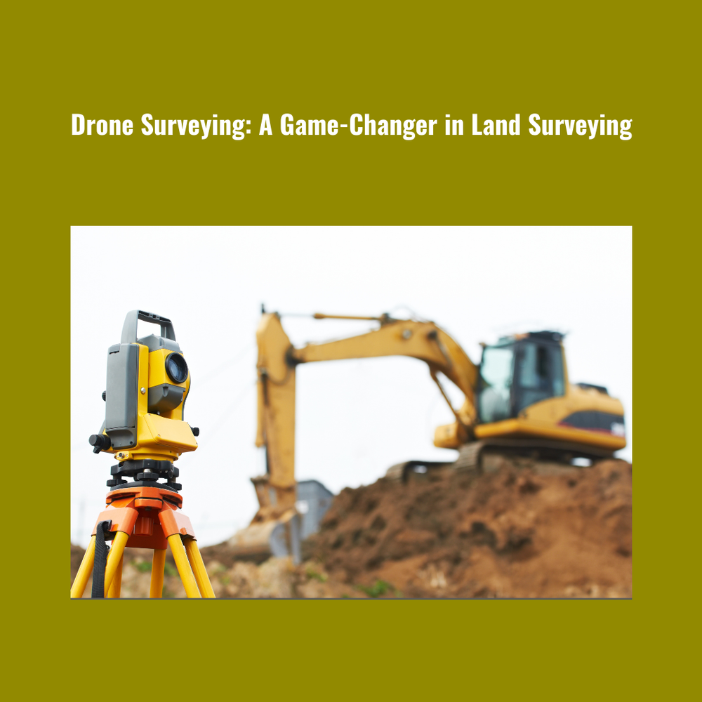
In the realm of land surveying, innovation is the key to staying ahead in a rapidly evolving industry. One of the most significant advancements in recent years has been the integration of drones into surveying practices. With their ability to capture high-resolution imagery from above, drones have revolutionized the way land surveying is conducted, offering unparalleled efficiency, accuracy, and cost-effectiveness. In this comprehensive guide, we delve into the world of drone surveying and explore how it is reshaping the landscape of land surveying as we know it.
CLICK HERE TO READ THE FULL ARTICLE »
-
Top 5 Must-Have Surveying Tools for Professionals

Surveying, the backbone of modern engineering and construction, demands precision, accuracy, and efficiency. Whether you're mapping out a new development, monitoring land changes, or ensuring the safety of structures, having the right tools at your disposal can make all the difference. As experts in the field of GNSS and UAV PPK, we understand the importance of equipping professionals with the best instruments available. In this comprehensive guide, we unveil the top five must-have surveying tools that every professional should consider adding to their arsenal.
CLICK HERE TO READ THE FULL ARTICLE »
-
Why Online Shopping for Surveying Gear is the Smart Choice

In the ever-evolving field of surveying and geospatial technology, staying ahead of the curve is crucial. When it comes to acquiring survey equipment, GNSS solutions, and survey tools, making the smart choice can significantly impact the success of your projects. In this blog, we will explore the advantages of online shopping for surveying gear, focusing on Labrosse Consulting, a dynamic company that specializes in GNSS and UAV PPK technologies.
CLICK HERE TO READ THE FULL ARTICLE »
-
The Importance of Stockpile Surveying in Mining Operations

In the world of modern mining, the utilization of cutting-edge technology has become paramount for ensuring efficiency, accuracy, and cost-effectiveness. Among the many tools available, GNSS (Global Navigation Satellite System) and Stockpile Surveying play a pivotal role in streamlining mining operations. In this blog, we'll delve into the significance of these technologies and their applications in the mining sector.
CLICK HERE TO READ THE FULL ARTICLE »


