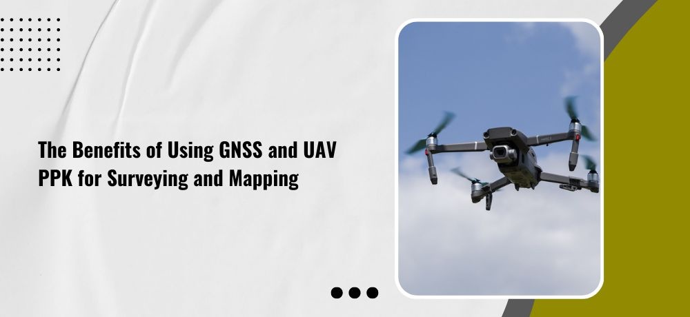
The Benefits of Using GNSS and UAV PPK for Surveying and Mapping

From towering skyscrapers to sprawling highways, the modern world is a testament to the power of accurate surveying and mapping. But traditional methods of surveying, such as manual measurements and aerial photography, can be time-consuming, costly, and limited in their precision. That’s where GNSS and UAV PPK come in. These cutting-edge technologies have revolutionized surveying and mapping by providing accurate, real-time data from above. Whether you’re a civil engineer, urban planner, or environmental scientist, using GNSS and UAV PPK technology can enhance your work and help you achieve your goals faster and more efficiently than ever before.
To delve deeper into this exciting topic, Labrosse Consulting has crafted a list of five crucial points that will enlighten and amaze you.
1. Time and cost efficiency
Compared to traditional surveying methods, GNSS and UAV PPK technology can significantly reduce both the time and cost involved in data collection. UAVs equipped with GNSS receivers and cameras can fly over large areas quickly and collect high-resolution images that can be stitched together to create detailed maps and models. This saves surveyors valuable time and reduces the cost of hiring manned aircraft or ground crews.
2. Enhanced accuracy
GNSS and UAV PPK technology provides unparalleled accuracy in surveying and mapping. By using satellite data and real-time kinematic (RTK) positioning, GNSS can provide centimeter-level accuracy, making it ideal for high-precision applications like infrastructure construction, land surveying, and geodetic control networks. The increased accuracy provided by GNSS and UAV PPK technology can result in more precise and efficient resource management in industries such as agriculture and forestry, reducing waste and improving yields.
3. Increased safety
With UAV PPK technology, surveyors can safely access remote or hazardous areas that would be difficult or dangerous to reach otherwise. For example, surveying steep terrain or inspecting infrastructure like bridges and towers can be done quickly and safely using UAVs, reducing the risk of injury to surveyors. The use of UAV PPK technology can also improve safety in emergency response situations, such as natural disasters or search and rescue missions. With UAVs, surveyors can quickly and safely assess the damage and locate survivors in areas that may be inaccessible by foot or vehicle.
4. Improved data quality
The use of GNSS and UAV PPK technology ensures consistent and high-quality data. Unlike traditional methods, which can be affected by human error, GNSS and UAVs can provide accurate data regardless of the operator’s experience or skill level. In addition to reducing human error, GNSS and UAV PPK technology can also reduce the impact of environmental factors on data quality. For example, with UAVs, surveyors can collect data without being affected by weather conditions or vegetation that may obscure their view.
5. Versatility
GNSS and UAV PPK technology can be used in a wide range of surveying and mapping applications, including construction, environmental monitoring, agriculture, and archaeology. With the ability to collect high-resolution data quickly and accurately, surveyors can tackle a variety of projects with ease, making these technologies a valuable asset for professionals in a range of industries. In agriculture, GNSS and UAV PPK technology can be used to monitor crop health and growth, enabling farmers to make informed decisions about planting and harvesting. Similarly, in archaeology, these technologies can be used to map ancient sites and uncover hidden structures, providing a more detailed understanding of historical cultures and civilizations.
If you’re looking for a geomatics specialist in Ontario, consider reaching out to Labrosse Consulting. Labrosse Consulting was founded in 2014 by me, Jason Labrosse. With over 22 years of experience in construction and civil engineering technology, I combined my passion for electronics and GIS to create this company. I offer professional services and advice to my clients promptly without sacrificing quality. Labrosse Consulting provides surveying equipment, PPK UAV modifications, and UAV training services tailored to each individual or company. Thank you to my customers and mentors for helping me grow this dream into a successful business.
My services are extended to clients across 10 Provinces and 3 Territories of Canada, and all 50 States in the USA as well as DC and Puerto Rico.
Get in touch with me today!
To learn more about my services, please click here. To get in touch with me, please click here or call me at (705) 618-6225 or email me at jason@labrosseconsulting.ca.