Unlocking the Potential of GNSS and UAV PPK for Engineering and Construction
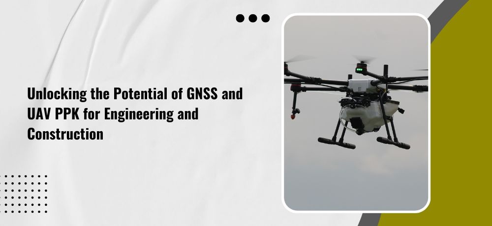
Engineering and construction are complex and challenging industries that demand precise and efficient data collection. With the advancements in technology, GNSS (Global Navigation Satellite System) and UAV PPK (Unmanned Aerial Vehicle Post-Processing Kinematics) have revolutionized the way professionals in these fields approach their work. These cutting-edge technologies offer unparalleled accuracy and efficiency in surveying and mapping, allowing engineers and construction teams to unlock new levels of productivity and innovation.
Whether you’re a seasoned engineer or construction worker, or just someone interested in the latest technological advancements, Labrosse Consulting’s list of five points is sure to provide an engaging and insightful perspective on this topic.
1. Increased accuracy
GNSS and UAV PPK technology provide high levels of accuracy in surveying and mapping, which is essential for construction and engineering projects. With centimeter-level accuracy, these technologies enable professionals to create detailed and accurate 3D models of the construction site, reducing the margin of error and improving project outcomes. In addition to improving project outcomes, the increased accuracy provided by GNSS and UAV PPK technology also helps reduce construction costs.
2. Improved safety
UAV PPK technology allows for safer inspections of structures like bridges and towers, which would have been too difficult or hazardous to inspect previously. Additionally, the use of drones eliminates the need for workers to access high-risk areas, reducing the risk of injuries and accidents. Moreover, the use of UAV PPK technology also provides a safer alternative for conducting aerial surveys and inspections. Surveyors and engineers can gather detailed and accurate data without having to physically climb to high altitudes or enter hazardous environments, reducing the risk of falls, exposure to hazardous materials, and other safety hazards.
3. Cost-effective
GNSS and UAV PPK technology can be cost-effective solutions for construction and engineering projects. The accuracy and efficiency of these technologies can reduce the need for manual labor and expensive equipment, saving time and money in the long run. In addition to reducing labor costs, GNSS and UAV PPK technology can also help save on material costs. With accurate data, professionals can optimize material usage and reduce waste, resulting in significant cost savings throughout a project.
4. Enhanced visualization
By using UAVs and GNSS, professionals can create detailed and accurate 3D models of the construction site. This enhanced visualization can help identify potential issues and provide a clear understanding of the project’s scope and requirements. The enhanced visualization provided by GNSS and UAV PPK technology can also improve communication among project stakeholders. With detailed 3D models, all parties involved in the project can have a better understanding of the construction site and project progress, reducing the risk of miscommunication and delays.
5. Environmental impact
The use of UAVs and GNSS can also have a positive impact on the environment. By reducing the need for heavy machinery and vehicles, professionals can minimize the project’s carbon footprint and reduce the impact on the surrounding ecosystem. In addition to reducing the carbon footprint and minimizing the impact on the surrounding ecosystem, the use of UAVs and GNSS technology can also help in monitoring and managing environmental factors during construction and engineering projects.
If you’re looking for a geomatics specialist in Ontario, consider reaching out to Labrosse Consulting. Labrosse Consulting was founded in 2014 by me, Jason Labrosse. With over 22 years of experience in construction and civil engineering technology, I combined my passion for electronics and GIS to create this company. I offer professional services and advice to my clients promptly without sacrificing quality. Labrosse Consulting provides surveying equipment, PPK UAV modifications, and UAV training services tailored to each individual or company. Thank you to my customers and mentors for helping me grow this dream into a successful business.
My services are extended to clients across 10 Provinces and 3 Territories of Canada, and all 50 States in the USA as well as DC and Puerto Rico.
Get in touch with me today!
To learn more about my services, please click here. To get in touch with me, please click here or call me at (705) 618-6225 or email me at jason@labrosseconsulting.ca.