The Key to Disaster Management: How GNSS and UAV PPK Services Can Help with Emergency Response
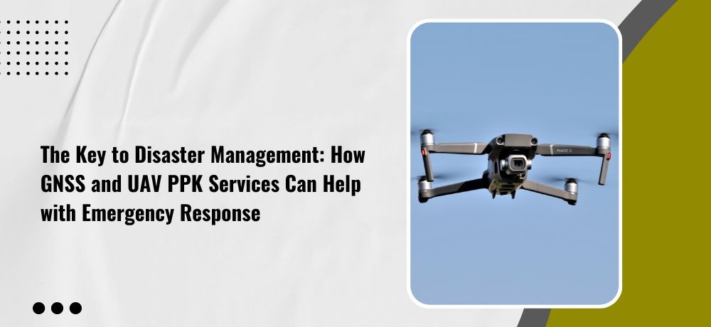
In times of disaster, quick and effective emergency response is crucial. When natural disasters strike or accidents occur, emergency response teams need accurate and timely information to make informed decisions and take appropriate action. GNSS and UAV PPK services have emerged as powerful tools for disaster management, providing critical data and insights to first responders and emergency management teams. If you want to know how GNSS and UAV PPK services can help with emergency response, buckle up and get ready for an insightful ride as Labrosse Consulting unveils five points that will enlighten you on the key to disaster management.
1. Rapid mapping and damage assessment
In the event of a natural disaster such as an earthquake or hurricane, GNSS and UAV PPK technology can be used to quickly map affected areas and assess the damage. This information can be used to identify critical areas that require immediate attention and prioritize response efforts. In addition to identifying critical areas that require immediate attention, the data collected by GNSS and UAV PPK technology can be used to create accurate damage assessment reports.
2. Search and rescue operations
UAVs equipped with thermal imaging cameras and GNSS can be used for search and rescue operations in disaster-stricken areas. The real-time location data and high-resolution imagery can help locate survivors and identify hazards for first responders, reducing the time and resources required for search and rescue missions. GNSS and UAV PPK technology can also be used to create real-time maps of disaster-stricken areas, which can aid in search and rescue operations by providing first responders with up-to-date information on the location of survivors, hazards, and other important details.
3. Communication and coordination
In emergency response situations, effective communication and coordination are critical. GNSS and UAV PPK technology can be used to improve communication and coordination between response teams, providing real-time location data and imagery that can be shared across different teams and agencies. This can help improve overall response times and minimize the impact of disasters.
4. Infrastructure monitoring
In the aftermath of a disaster, it’s crucial to assess the state of critical infrastructure such as roads, bridges, and buildings. GNSS and UAV PPK technology can be used to quickly and accurately assess the condition of these structures, identifying any damage that may have occurred and providing data that can be used to plan repairs and rebuilding efforts. In addition to assessing the state of critical infrastructure after a disaster, GNSS and UAV PPK technology can also be used for ongoing monitoring of these structures.
5. Logistics and supply chain management
UAVs equipped with GNSS and PPK technology can be used for logistics and supply chain management during disaster response efforts. These drones can be used to deliver critical supplies to hard-to-reach areas, reducing the need for ground transportation and enabling faster delivery of aid to those in need. In addition to delivering critical supplies, UAVs with GNSS and PPK technology can also be used for real-time monitoring of the supply chain. By tracking the location of supplies and resources, professionals can ensure that aid is reaching the areas that need it most and optimize the allocation of resources.
If you’re looking for a geomatics specialist in Ontario, consider reaching out to Labrosse Consulting. Labrosse Consulting was founded in 2014 by me, Jason Labrosse. With over 22 years of experience in construction and civil engineering technology, I combined my passion for electronics and GIS to create this company. I offer professional services and advice to my clients promptly without sacrificing quality. Labrosse Consulting provides surveying equipment, PPK UAV modifications, and UAV training services tailored to each individual or company. Thank you to my customers and mentors for helping me grow this dream into a successful business.
My services are extended to clients across 10 Provinces and 3 Territories of Canada, and all 50 States in the USA as well as DC and Puerto Rico.
Get in touch with me today!
To learn more about my services, please click here. To get in touch with me, please click here or call me at (705) 618-6225 or email me at jason@labrosseconsulting.ca.