The Ultimate Guide to GNSS and UAV PPK Services: Everything You Need to Know
In recent years, GNSS (Global Navigation Satellite System) and UAV (Unmanned Aerial Vehicle) PPK (Post-Processed Kinematic) services have revolutionized various industries, including construction, agriculture, and disaster management. These advanced technologies have transformed the way we collect data, perform inspections, and make decisions. Whether you’re a professional looking to incorporate these technologies into your work or simply curious about their capabilities, this ultimate guide will provide you with everything you need to know about GNSS and UAV PPK services. So Labrosse Consulting has done the research and compiled a comprehensive list of five points that will provide you with a complete understanding of GNSS and UAV PPK services.
1. Early warning systems
GNSS and UAV PPK technology can be used to monitor and analyze changes in water levels in rivers and lakes, which can help predict potential flooding and allow for early warning systems to be implemented. In wildfire-prone areas, GNSS and UAV PPK technology can be used to monitor weather patterns and vegetation cover to assess the risk of wildfires and provide early warning alerts to nearby communities. GNSS and UAV PPK technology can be used to monitor geological activity such as seismic activity and ground deformation, which can help predict potential landslides and provide early warning alerts.
2. Risk assessment and planning
By using GNSS and UAV PPK technology to create detailed maps and models of terrain and infrastructure, professionals can better assess the potential impact of natural disasters and plan for effective response efforts. GNSS and UAV PPK technology can be used to identify areas of high risk for natural disasters such as earthquakes, hurricanes, and tornadoes, allowing for proactive measures to be taken to reduce the potential impact. With the help of GNSS and UAV PPK technology, professionals can analyze historical data on natural disasters and use that information to develop more accurate risk assessment models and disaster response plans.
3. Community engagement
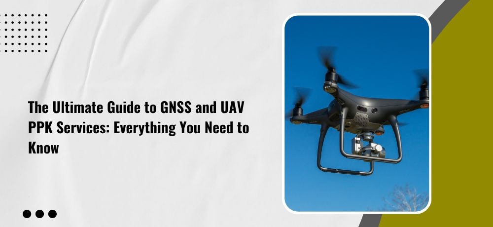
UAVs equipped with cameras and GNSS can be used to capture high-resolution imagery of disaster-prone areas and share it with local communities. This can help residents better understand the potential risks they face and take proactive steps to prepare for emergencies. In addition to capturing high-resolution imagery, UAVs equipped with GNSS can also be used to conduct community surveys and collect data on local needs and resources. This information can help guide disaster response efforts and ensure that aid is provided where it is needed most.
4. Training and education
GNSS and UAV PPK technology can be used to train emergency responders and other professionals on disaster response procedures and techniques. This can help improve the effectiveness of response efforts and reduce the risk of injuries and fatalities. GNSS and UAV PPK technology can also be used to simulate disaster scenarios and provide hands-on training for emergency responders and other professionals. This can help improve their readiness and response times, as well as their ability to adapt to unexpected challenges during disaster response operations.
5. Geospatial intelligence
GNSS and UAV PPK technology can be used to collect and analyze a wide range of geospatial data, including satellite imagery, topographic maps, and 3D models of terrain and infrastructure. This information can be used to develop highly detailed and accurate maps of disaster-prone areas, as well as to inform a range of other applications such as urban planning, transportation management, and natural resource management.
If you’re looking for a geomatics specialist in Ontario, consider reaching out to Labrosse Consulting. Labrosse Consulting was founded in 2014 by me, Jason Labrosse. With over 22 years of experience in construction and civil engineering technology, I combined my passion for electronics and GIS to create this company. I offer professional services and advice to my clients promptly without sacrificing quality. Labrosse Consulting provides surveying equipment, PPK UAV modifications, and UAV training services tailored to each individual or company. Thank you to my customers and mentors for helping me grow this dream into a successful business.
My services are extended to clients across 10 Provinces and 3 Territories of Canada, and all 50 States in the USA as well as DC and Puerto Rico.
Get in touch with me today!
To learn more about my services, please click here. To get in touch with me, please click here or call me at (705) 618-6225 or email me at jason@labrosseconsulting.ca.