Unlocking the Potential of GNSS and UAV PPK for Engineering and Construction
In the ever-evolving landscape of engineering and construction, precision and efficiency have become paramount. As projects become more complex and timelines tighter, harnessing advanced technologies is no longer an option but a necessity. This brings us to the dynamic realm of Global Navigation Satellite Systems (GNSS) and Unmanned Aerial Vehicle Post-Processing Kinematics (UAV PPK), two game-changing tools that are transforming the way we approach surveying and mapping in the industry.
Elevating Construction with Drones and PPK Technology
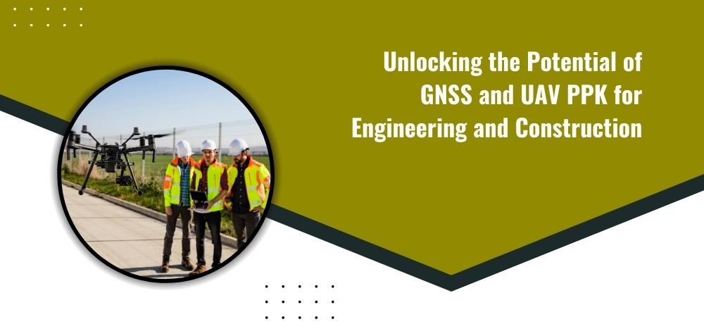
The integration of drones into construction processes has marked a paradigm shift, revolutionizing traditional surveying methods. Drones equipped with GNSS and PPK capabilities offer unprecedented accuracy and speed in data collection. These aerial sentinels can swiftly capture large expanses of land, collecting intricate topographic details and generating comprehensive 3D models.
Streamlining Surveying Through GNSS Enhancement
GNSS technology acts as the backbone of precision positioning. By integrating GNSS receivers into UAVs, engineers and construction professionals can achieve centimeter-level accuracy in real-time. This enhanced accuracy not only expedites the surveying process but also reduces costly errors and rework.
Precision Construction through PPK Advancements
UAV PPK takes precision a step further by post-processing data collected during flight. This approach compensates for potential signal disruptions during flight, enhancing the accuracy of final survey results. PPK technology ensures that even in challenging environments, the data collected remains reliable and consistent.
Minimizing Risks and Maximizing Rewards
While the rewards of embracing GNSS and UAV PPK technology are abundant, it's crucial to acknowledge potential risks. Adequate training and understanding of these technologies are imperative to harness their full potential. By investing in skilled operators and robust data processing, construction and engineering firms can minimize risks and reap the immense rewards offered by these advancements.
In the ever-evolving landscape of engineering and construction, Labrosse Consulting stands as your partner in harnessing the full potential of GNSS and UAV PPK technology. Our passion for electronics and extensive experience in GIS and civil construction drive us to provide top-notch surveying solutions. From precise drone mapping to comprehensive consulting, Labrosse Consulting is your one-stop destination.
To learn more about the services we offer, please click here. If you have questions, we’d love to hear from you. Please feel free to call us at (705) 618-6225 or jason@labrosseconsulting.ca.