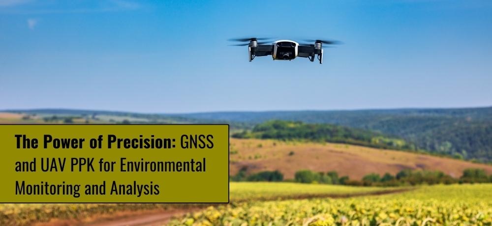
The Power of Precision: GNSS and UAV PPK for Environmental Monitoring and Analysis
In an era of heightened environmental awareness, the ability to monitor and analyze ecosystems with precision has become vital. Enter the realm of Global Navigation Satellite Systems (GNSS) and Unmanned Aerial Vehicle Post-Processing Kinematics (UAV PPK), technologies that have ushered in a new era of accuracy in environmental monitoring and analysis. As we navigate the challenges of safeguarding our planet's health, these tools emerge as invaluable allies.
1. Mapping the Terrain: Drones in Environmental Monitoring
Drones equipped with GNSS and PPK capabilities offer a transformative approach to environmental mapping. These aerial sentinels enable researchers to collect data from remote or inaccessible areas, providing a comprehensive understanding of ecosystems. From tracking changes in vegetation density to monitoring erosion patterns, drones equipped with precision technology deliver rich datasets for analysis.
2. Harnessing Precision in Resource Management
Efficient environmental management hinges on accurate data collection. GNSS technology empowers conservationists to monitor and manage natural resources with unparalleled precision. Whether it's tracking wildlife populations or quantifying changes in land cover, GNSS-equipped drones play a pivotal role in informing sustainable resource management decisions.
3. Pinpointing Pollution Sources with PPK Precision
UAV PPK technology takes environmental monitoring to a granular level by post-processing collected data. This approach enhances accuracy in pinpointing pollution sources, tracking their movement, and assessing their impact. Whether monitoring air quality or identifying water pollution, PPK-equipped drones provide critical insights for effective environmental intervention.
4. Balancing Challenges and Benefits
While GNSS and UAV PPK technology offer exceptional benefits to environmental monitoring, challenges exist, such as regulatory compliance and data processing complexity. Labrosse Consulting navigates these challenges, offering comprehensive solutions that maximize the benefits of these technologies while ensuring adherence to regulations and industry best practices.
Amidst the global call for environmental stewardship, we stand as your partner in harnessing the power of GNSS and UAV PPK for environmental monitoring and analysis. Our expertise in GIS and passion for precision drive us to provide cutting-edge solutions. From detailed drone mapping to insightful consulting, Labrosse Consulting is your trusted ally.
To learn more about the services we offer, please click here. If you have questions, we’d love to hear from you. Please feel free to call us at (705) 618-6225 or jason@labrosseconsulting.ca.