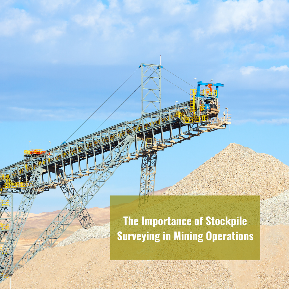
The Importance of Stockpile Surveying in Mining Operations

In the world of modern mining, the utilization of cutting-edge technology has become paramount for ensuring efficiency, accuracy, and cost-effectiveness. Among the many tools available, GNSS (Global Navigation Satellite System) and Stockpile Surveying play a pivotal role in streamlining mining operations. In this blog, we'll delve into the significance of these technologies and their applications in the mining sector.
Understanding GNSS in Mining
GNSS: Navigating Precision in Mining
To start, it's essential to comprehend the fundamental concept of GNSS and its vital role in mining operations. GNSS is a constellation of satellites that provide global positioning information, enabling precise navigation and location-based data collection. In the mining industry, the integration of GNSS technology has brought about transformative changes in various aspects of the business.
Enhancing Accuracy and Efficiency
The deployment of GNSS systems in mining operations greatly enhances accuracy and efficiency. It allows for precise tracking of mining equipment, enabling better fleet management and optimization. This technology offers real-time information on equipment locations and their performance, leading to more informed decision-making.
Stockpile Surveying: A Game-Changer
When it comes to mining, accurate assessment and management of stockpiles are paramount. Traditional stockpile measurement methods often fall short of providing accurate data. This is where Stockpile Surveying steps in as a game-changer. It leverages GNSS technology to accurately measure stockpiles, offering a reliable solution for inventory management.
The Advantages of Stockpile Surveying
Precision Measurement: Stockpile Surveying employs GNSS technology to provide high-precision measurements, eliminating the need for manual surveys that are time-consuming and less accurate.
- Cost Savings: Accurate stockpile measurement translates to reduced inventory discrepancies, leading to significant cost savings for mining companies.
- Improved Safety: Stockpile Surveying minimizes the need for manual labor in hazardous areas, enhancing safety for mining personnel.
- Environmental Impact: Efficient stockpile management reduces the environmental impact of mining operations by minimizing over-extraction.
The Role of Stockpile Surveying in GNSS Technology
Stockpile Surveying is an integral part of the broader GNSS technology. By accurately measuring stockpiles, it ensures that the GNSS data collected for mining operations is based on precise inventory figures. This, in turn, optimizes the use of GNSS for various mining tasks, from fleet management to site planning.
Advanced Techniques in Stockpile Surveying
Stockpile Surveying has evolved significantly with advancements in technology. Modern systems not only utilize GNSS but also incorporate LiDAR (Light Detection and Ranging) and photogrammetry. These additional technologies enable even more precise measurements and the creation of 3D models of stockpiles. The combination of these techniques provides a comprehensive view of stockpile conditions, making it easier for mining companies to manage their inventories.
Challenges in Traditional Stockpile Measurement
Before the adoption of advanced Stockpile Surveying methods, mining companies often relied on manual measurements or basic surveying tools. These traditional methods were not only time-consuming but also prone to errors. Inaccurate stockpile measurements could lead to overestimation or underestimation of available resources, which had significant financial and operational implications.
Efficiency and Environmental Benefits
Minimizing Waste and Environmental Impact
Accurate Stockpile Surveying plays a crucial role in minimizing waste and reducing the environmental footprint of mining operations. When stockpiles are measured precisely, mining companies can optimize their extraction processes, ensuring that they only extract what is needed. This, in turn, reduces the disturbance of additional land and the associated environmental impact.
Real-World Applications
Case Studies
To illustrate the practical benefits of Stockpile Surveying, let's take a look at a few case studies:
- Optimizing Stockpile Management: A large open-pit mining operation in Australia implemented Stockpile Surveying to monitor its coal stockpiles. By accurately measuring the stockpiles, the company reduced its inventory discrepancies and lowered operational costs. This optimization allowed them to extract only what was necessary, minimizing the environmental impact of their operations.
- Safety and Efficiency: In a copper mine in Chile, Stockpile Surveying using GNSS and LiDAR helped improve safety and efficiency. By reducing the need for manual measurements in hazardous areas, the company enhanced the well-being of its workers. The accurate stockpile data also improved fleet management, resulting in higher efficiency and cost savings.
In conclusion, Stockpile Surveying, especially when integrated with advanced technologies like GNSS, LiDAR, and photogrammetry, represents the future of mining operations. It's not just about accurate measurements; it's about efficient resource management, cost savings, safety improvements, and environmental responsibility. By embracing these innovative techniques, mining companies can secure their positions in a competitive and evolving industry.
At Labrosse Consulting, we are dedicated to helping mining companies leverage these technologies to their advantage. We understand that the mining industry is dynamic and challenging, and our goal is to provide solutions that address these challenges effectively.
Connect with us today to explore how Labrosse Consulting can assist your mining operations in implementing Stockpile Surveying and other advanced technologies. To learn more about the services we offer, please click here. If you have questions, we'd be happy to hear from you. Please feel free to call us at (705) 618-6225 or email jason@labrosseconsulting.ca.