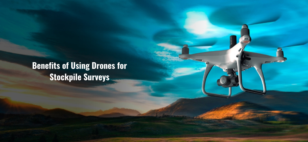
Benefits of Using Drones for Stockpile Surveys
In the world of modern surveying and geospatial technology, the use of drones, particularly in conjunction with Global Navigation Satellite Systems (GNSS) and UAV PPK (Unmanned Aerial Vehicle Post-Processed Kinematic), has emerged as a game-changer. This powerful combination has redefined stockpile surveys, offering precision, efficiency, and cost-effectiveness like never before.
Understanding Drones for Stockpile Surveys
Drones, also known as Unmanned Aerial Vehicles (UAVs), have revolutionized a wide array of industries. In the realm of surveying, they have opened up new possibilities, especially when it comes to stockpile surveys. These aerial vehicles equipped with advanced technology can capture data from above, providing an entirely new perspective on surveying.
The Role of GNSS in Aerial Surveys
GNSS, or Global Navigation Satellite Systems, plays a pivotal role in enhancing the accuracy and reliability of stockpile surveys. By incorporating GNSS technology into your drone surveys, you gain access to a network of satellites that enable precise positioning. This results in more accurate data, which is crucial for stockpile management and quantity verification.
One of the significant advantages of using GNSS is that it allows your drone to determine its position with remarkable precision. This is especially vital when conducting stockpile surveys, where precise measurements are essential.
UAV PPK: Elevating Accuracy to New Heights
When we talk about UAV PPK, we're referring to a technology that takes accuracy to a whole new level. UAV PPK (Unmanned Aerial Vehicle Post-Processed Kinematic) technology involves post-processing the data collected by the drone, which significantly enhances the precision of the survey.
By post-processing the data, we correct any errors and refine the results to achieve sub-centimeter accuracy. This level of detail is invaluable when dealing with stockpile surveys. You can be confident that your measurements are highly accurate, which, in turn, ensures better decision-making and project planning.
How Drones, GNSS, and UAV PPK Benefit Stockpile Surveys
Now that we've covered the fundamental components of this technology let's delve into the specific benefits it brings to stockpile surveys.
- Unmatched Efficiency
Traditional stockpile surveys often involve time-consuming manual measurements and data collection. However, with the integration of drones, GNSS, and UAV PPK, the process becomes remarkably efficient. Drones can cover large areas quickly, reducing the time required for surveys. This means you can complete your projects faster and save valuable resources.
- Enhanced Safety
Safety is a top priority in any surveying project. With drones, you can minimize the risks associated with on-site inspections. Surveying hazardous or hard-to-reach areas can be achieved without exposing personnel to potential dangers. This results in safer working conditions and peace of mind for your team.
- Cost Savings
Efficiency and safety improvements translate into substantial cost savings. With drones, you can reduce labor costs, decrease project duration, and minimize the expenses associated with on-site surveys. Additionally, the accuracy of GNSS and UAV PPK technology prevents errors that could lead to costly mistakes in project planning and stockpile management.
- Data Accuracy
The heart of any stockpile survey lies in the accuracy of the data collected. Drones equipped with GNSS and UAV PPK technology provide highly accurate data, often at a sub-centimeter level. This level of precision is unparalleled and ensures that your decisions are based on reliable information.
- Versatility
Drones are not limited to just one type of survey. They can be used for various surveying applications, including topographic site surveys, photogrammetry drone surveys, construction layout/as-built surveys, and, of course, stockpile management and quantity verification. Their versatility makes them an invaluable asset in the surveying industry.
In conclusion, the utilization of drones, combined with GNSS and UAV PPK technology, has redefined the landscape of stockpile surveys. This powerful trio offers unmatched efficiency, safety, cost savings, data accuracy, and versatility in surveying.
At Labrosse Consulting, we specialize in providing a wide range of services related to GNSS and UAV PPK technologies. From surveying equipment modifications to UAV training, we offer a variety of solutions to meet the needs of our clients.
To learn more about the services we offer, please click here. If you have questions, we'd be happy to hear from you. Please feel free to call us at (705) 618-6225 or email jason@labrosseconsulting.ca.