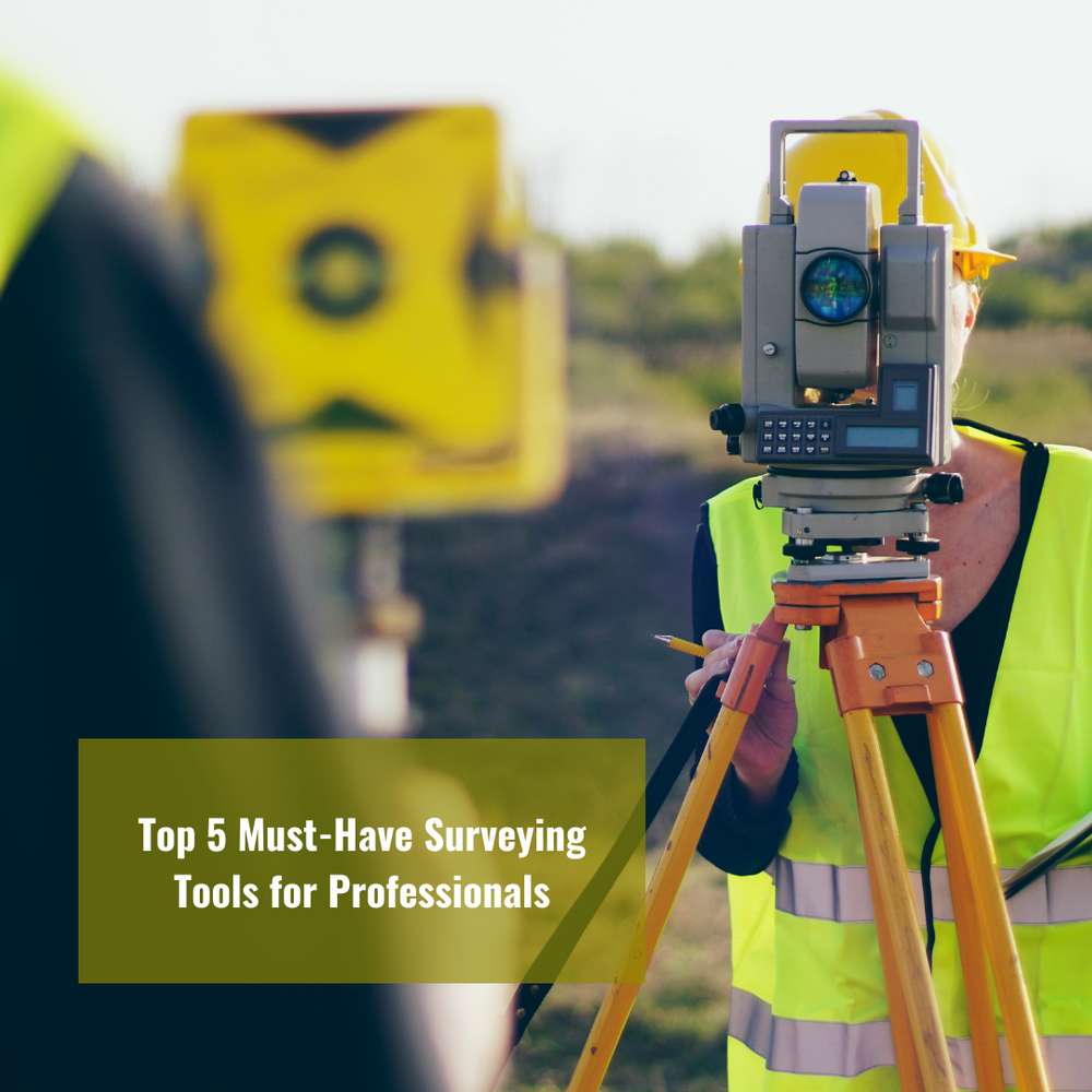
Top 5 Must-Have Surveying Tools for Professionals

Surveying, the backbone of modern engineering and construction, demands precision, accuracy, and efficiency. Whether you're mapping out a new development, monitoring land changes, or ensuring the safety of structures, having the right tools at your disposal can make all the difference. As experts in the field of GNSS and UAV PPK, we understand the importance of equipping professionals with the best instruments available. In this comprehensive guide, we unveil the top five must-have surveying tools that every professional should consider adding to their arsenal.
Total Station: The Workhorse of Surveying
At the heart of every land surveyor's toolkit lies the Total Station, a versatile instrument that combines the functionalities of a theodolite and an EDM (Electronic Distance Measurement) device. This all-in-one solution enables precise angle and distance measurements, making it indispensable for tasks such as boundary determination, topographic mapping, and construction layout. With advanced features like reflectorless measurement and robotic operation, modern Total Stations offer unparalleled accuracy and efficiency in the field.
GNSS Receivers: Harnessing Satellite Technology
Global Navigation Satellite Systems (GNSS) receivers have revolutionized the way surveyors collect data, providing real-time positioning with centimeter-level accuracy. These devices leverage signals from satellite constellations such as GPS, GLONASS, and Galileo to determine precise coordinates, even in challenging environments. Whether you're conducting geodetic surveys or performing aerial mapping with drones, a high-quality GNSS receiver is essential for achieving reliable results.
UAV Drones: Taking Surveying to New Heights
Unmanned Aerial Vehicles (UAVs), or drones, have emerged as indispensable tools for aerial surveying and mapping applications. Equipped with high-resolution cameras and GNSS receivers, these versatile platforms can capture detailed imagery and topographic data with unparalleled efficiency. By conducting aerial surveys, professionals can quickly assess large areas, identify potential hazards, and generate accurate 3D models for analysis and visualization.
Digital Level: Elevating Precision Measurement
In surveying, accurate elevation measurements are critical for tasks such as site grading, drainage design, and construction staking. Digital levels offer a modern alternative to traditional leveling instruments, providing precise height readings with minimal setup time. With features like automatic height tracking and onboard data storage, digital levels streamline the surveying process and ensure consistent results across diverse terrain.
Data Collectors: Streamlining Field Operations
To effectively capture, manage, and analyze survey data, professionals rely on robust data collection devices. Modern data collectors combine the functionality of handheld computers with specialized surveying software, allowing users to input field observations, manage point clouds, and generate comprehensive reports on the go. With intuitive touchscreen interfaces and seamless integration with surveying instruments, these devices empower professionals to optimize their workflows and maximize productivity in the field.
In conclusion, the world of surveying is constantly evolving, driven by advancements in technology and a relentless pursuit of accuracy. By equipping professionals with the right tools and expertise, Labrosse Consulting is committed to supporting the success of projects across Canada, the USA, and beyond. From GNSS and UAV PPK services to comprehensive consulting solutions, we offer a wide range of services tailored to the needs of modern surveying professionals. To learn more about how we can elevate your surveying operations, please click here. If you have any questions or inquiries, please don't hesitate to contact us at (705) 618-6225 or email us at jason@labrosseconsulting.ca.