Drone Surveying: A Game-Changer in Land Surveying
In the realm of land surveying, innovation is the key to staying ahead in a rapidly evolving industry. One of the most significant advancements in recent years has been the integration of drones into surveying practices. With their ability to capture high-resolution imagery from above, drones have revolutionized the way land surveying is conducted, offering unparalleled efficiency, accuracy, and cost-effectiveness. In this comprehensive guide, we delve into the world of drone surveying and explore how it is reshaping the landscape of land surveying as we know it.
Unveiling the Power of Drone Surveying
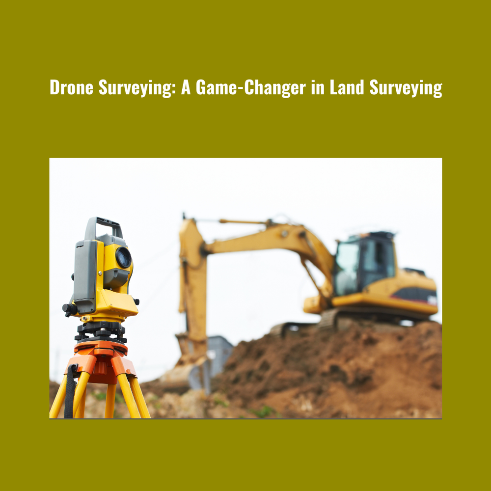
Drone surveying, also known as UAV (Unmanned Aerial Vehicle) surveying, involves the use of drones equipped with specialized cameras and sensors to capture aerial imagery and data of the earth's surface. Unlike traditional surveying methods that rely on ground-based equipment, drones offer a bird's-eye view of the terrain, allowing surveyors to gather data more quickly and with greater precision.
The Benefits of Drone Surveying
Drone surveying offers a myriad of benefits that make it a game-changer in the field of land surveying:
- Enhanced Efficiency: By covering large areas in a fraction of the time it takes for traditional surveying methods, drones significantly increase surveying efficiency. What once took days or even weeks can now be accomplished in a matter of hours, saving valuable time and resources.
- Improved Accuracy: With advanced GPS and GNSS technology, drones can pinpoint locations with unprecedented accuracy, reducing the margin of error in survey measurements. This heightened level of precision ensures reliable data for decision-making in various industries, from construction to agriculture.
- Cost-Effectiveness: Despite their sophisticated technology, drones are surprisingly cost-effective compared to traditional surveying methods. The reduction in labor and equipment costs, coupled with faster project completion times, translates to substantial savings for businesses and project owners.
- Safety: Drone surveying minimizes the need for surveyors to physically access hazardous or hard-to-reach areas, thereby mitigating safety risks associated with traditional surveying practices. This not only protects the well-being of surveyors but also enhances overall project safety.
- Versatility: Drones can be equipped with a variety of sensors, including LiDAR, thermal, and multispectral cameras, allowing them to collect diverse types of data for different applications. Whether mapping terrain, monitoring vegetation health, or assessing infrastructure, drones offer unparalleled versatility in surveying tasks.
Applications of Drone Surveying
The versatility of drone surveying extends to a wide range of applications across various industries:
- Construction and Development: Drones play a crucial role in construction site planning, progress monitoring, and as-built documentation. By providing real-time aerial insights, they help streamline construction workflows and ensure project timelines are met.
- Environmental Monitoring: In environmental conservation and management, drones are invaluable tools for monitoring wildlife habitats, tracking changes in land cover, and assessing the impact of human activities on ecosystems. Their ability to access remote and sensitive areas makes them indispensable for environmental research and conservation efforts.
- Agriculture: Precision agriculture relies heavily on drone technology to gather data on crop health, soil conditions, and irrigation needs. By analyzing aerial imagery captured by drones, farmers can make informed decisions to optimize crop yields, reduce resource inputs, and minimize environmental impact.
- Infrastructure Inspection: Drones are increasingly used for inspecting critical infrastructure such as bridges, dams, and power lines. Their ability to access hard-to-reach areas safely and efficiently allows for proactive maintenance and early detection of potential structural issues, ensuring the integrity and longevity of infrastructure assets.
As the demand for more accurate, efficient, and cost-effective surveying solutions continues to grow, drone surveying is poised to play an increasingly prominent role in the future of land surveying. By harnessing the power of cutting-edge technology, surveyors can unlock new possibilities and overcome traditional limitations, paving the way for smarter, more sustainable development practices.
In conclusion, drone surveying represents a seismic shift in the field of land surveying, offering unprecedented capabilities and unlocking new opportunities for innovation and growth. At Labrosse Consulting, we pride ourselves on being at the forefront of this technological revolution, providing comprehensive UAV PPK and GNSS services to clients across Canada and the USA. To learn more about our services and how we can help you harness the power of drone surveying for your next project, please click here. If you have any questions or inquiries, we'd be delighted to hear from you. Please feel free to call us at (705) 618-6225 or email us at jason@labrosseconsulting.ca.
With drone surveying, the sky is no longer the limit – it's just the beginning.